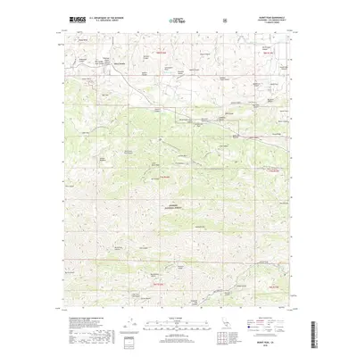
2018 Map of Burnt Peak
USGS Topo · Published 2018About this map
The San Andreas Fault cuts a significant geological path through this portion of the Angeles National Forest, defining the steep drainages and ridge lines of the Sierra Pelona Mountains. Near the settlement of Three Points, the terrain is marked by deep incisions such as Redrock Canyon and Kimbrough Canyon, where water management infrastructure like the Los Angeles Aqueduct navigates the complex topography. The map illustrates a landscape where recreational and utility corridors intersect, with the Pacific Crest National Scenic Trail winding across high points like Liebre Mtn and Sawmill Mtn. Small upland water bodies including Tweedy Lake and Hidden Lake provide rare riparian points within the high-elevation canyons. This modern survey reflects the continued balance of protected forest land and critical regional water infrastructure in northern Los Angeles County.
Find a feature on this map
67 named features on this map. Tap any name to fly to it.
Don’t see what you’re looking for? This feature index may not catch every label — zoom into the map to look around manually.
Map Details
Editions of this 2018 Burnt Peak Map
This is the sole edition of this map. No revisions or reprints were ever made.
Other maps of this area

1903 · Tejon
USGS Topo · 1:125,000

1915 · Elizabeth Lake
USGS Topo · 1:125,000

1917 · Elizabeth Lake
USGS Topo · 1:125,000

1931 · Warm Spring
USGS Topo · 1:24,000

1931 · Redrock Mtn
USGS Topo · 1:24,000

1932 · Hughes Lake
USGS Topo · 1:24,000

1932 · Fairmont
USGS Topo · 1:24,000

1932 · Neenach
USGS Topo · 1:24,000

1933 · Manzana
USGS Topo · 1:24,000
1936 · Warm Spring
USGS Topo · 1:24,000