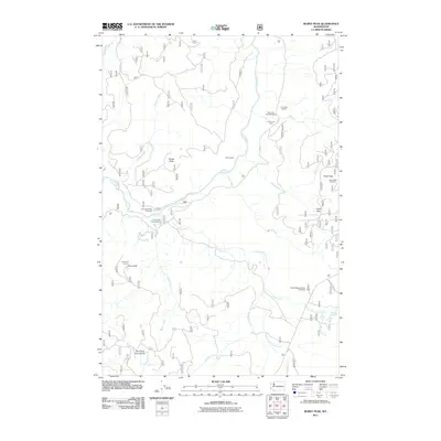
2011 Map of Burnt Peak
USGS Topo · Published 2011About this map
Burnt Peak and the Lewis River valley dominate this 2011 survey of the Gifford Pinchot National Forest area. The landscape is characterized by its high-altitude vantage points and backcountry infrastructure, including the Burnt Peak Lookout and Point 3670 Lookout. These sites, along with the Outlaw Ridge Volcanic Viewpoint, reflect the region's geological and fire-watch history.
Find a feature on this map
28 named features on this map. Tap any name to fly to it.
Don’t see what you’re looking for? This feature index may not catch every label — zoom into the map to look around manually.
Map Details
Editions of this 2011 Burnt Peak Map
This is the sole edition of this map. No revisions or reprints were ever made.
Other maps of this area

1919 · Mount St Helens
USGS Topo · 1:125,000

1926 · Steamboat Mtn
USGS Topo · 1:125,000

1926 · Hood River
USGS Topo · 1:125,000

1929 · Hood River
USGS Topo · 1:125,000

1931 · Steamboat Mtn
USGS Topo · 1:125,000

1940 · Lookout Mtn
USGS Topo · 1:62,500

1948 · Vancouver
USGS Topo · 1:250,000

1950 · Vancouver
USGS Topo · 1:250,000

1950 · Vancouver
USGS Topo · 1:250,000

1950 · Yakima
USGS Topo · 1:250,000