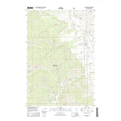
2017 Map of Burnt Ridge
USGS Topo · Published 2017About this map
Bitterroot National Forest dominates the mountain landscape of Ravalli County in this 2017 survey, where the Bitterroot River and the West Fork Bitterroot River converge near the settlement of Conner. The topography is defined by the massive Burnt Ridge and Grouse Butte, while numerous drainages such as Tin Cup Cr and Chaffin Cr carve through the steep terrain. Land use patterns are evident in the Trapper Creek Strip and the residential clusters at Deer Hollow. The map provides detailed tracking of forest access via Trapper Main Rd and the Hart Bench Loop, illustrating the intersection of timber management, recreational geography, and river-valley habitation. Notable landmarks like Baker Point and Haley Chute offer specific reference points for those studying the hydrologic and geologic character of this section of the Bitterroot Valley.
Find a feature on this map
60 named features on this map. Tap any name to fly to it.
Don’t see what you’re looking for? This feature index may not catch every label — zoom into the map to look around manually.
Map Details
Editions of this 2017 Burnt Ridge Map
This is the sole edition of this map. No revisions or reprints were ever made.
Other maps of this area

1901 · Hamilton
USGS Topo · 1:125,000

1956 · Elk City
USGS Topo · 1:250,000

1956 · Hamilton
USGS Topo · 1:250,000

1959 · Hamilton
USGS Topo · 1:250,000

1960 · Elk City
USGS Topo · 1:250,000

1960 · Hamilton
USGS Topo · 1:250,000

1964 · Hamilton
USGS Topo · 1:250,000

1964 · Burnt Ridge
USGS Topo · 1:24,000

1964 · Boulder Peak
USGS Topo · 1:24,000

1964 · Darby
USGS Topo · 1:24,000