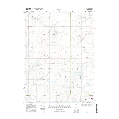
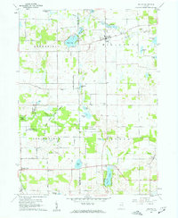
2017 Map of Burr Oak
USGS Topo · Published 2017About this map
Burr Oak and the surrounding borderlands of Saint Joseph County represent a landscape shaped by glacial hydrology and early agricultural settlement. This area near the Michigan Indiana state line is defined by the winding course of the Fawn River, which feeds into the Mill Pond south of the village. The settlement patterns here remain tied to the section lines, with many legacy roads like Chicago Rd E connecting the scattered farmsteads and rural townships.
Find a feature on this map
119 named features on this map. Tap any name to fly to it.
Don’t see what you’re looking for? This feature index may not catch every label — zoom into the map to look around manually.
Map Details
Editions of this 2017 Burr Oak Map
This is the sole edition of this map. No revisions or reprints were ever made.
Other maps of this area

1940 · Orland
USGS Topo · 1:24,000

1941 · Orland
USGS Topo · 1:24,000

1947 · Mongo
USGS Topo · 1:24,000

1947 · Lagrange
USGS Topo · 1:24,000

1953 · Fort Wayne
USGS Topo · 1:250,000

1956 · Fort Wayne
USGS Topo · 1:250,000
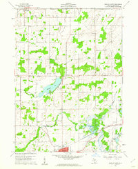
1960 · Bronson North
USGS Topo · 1:24,000
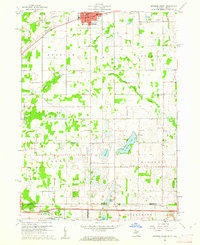
1960 · Bronson South
USGS Topo · 1:24,000
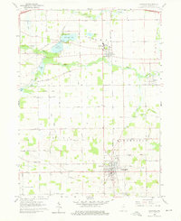
1960 · Lagrange
USGS Topo · 1:24,000
1960 · Orland
USGS Topo · 1:24,000