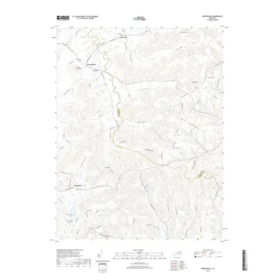
2019 Map of Burtonville
USGS Topo · Published 2019About this map
The N Fork Licking River meanders through the heart of this border region between Lewis and Fleming Counties, defining a landscape of narrow hollows and high ridges. Small crossroads communities like Burtonville, Pleasureville, and Foxport serve as anchors for the local geography, connected by winding routes such as Pleasant Valley Rd and Burtonville Rd. The area is notably dense with family and community burial grounds, including the Mays Cem, Esham Cem, and Million Cem, which offer significant value for genealogical research in this part of Kentucky.
Find a feature on this map
96 named features on this map. Tap any name to fly to it.
Don’t see what you’re looking for? This feature index may not catch every label — zoom into the map to look around manually.
Map Details
Editions of this 2019 Burtonville Map
This is the sole edition of this map. No revisions or reprints were ever made.
Other maps of this area

1919 · Vanceburg
USGS Topo · 1:62,500

1929 · Springdale
USGS Topo · 1:48,000

1935 · Springdale
USGS Topo · 1:62,500

1949 · Vanceburg
USGS Topo · 1:62,500

1949 · Charters
USGS Topo · 1:24,000

1950 · Charters
USGS Topo · 1:24,000

1951 · Cranston
USGS Topo · 1:24,000

1951 · Hillsboro
USGS Topo · 1:24,000

1951 · Stricklett
USGS Topo · 1:24,000

1951 · Plummers Landing
USGS Topo · 1:24,000