
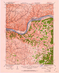
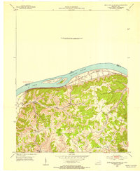
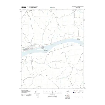
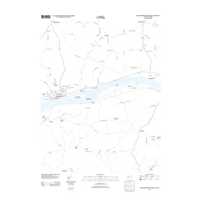
1935 Map of Springdale
USGS Topo · Published 1935About this map
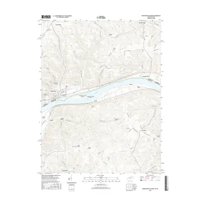
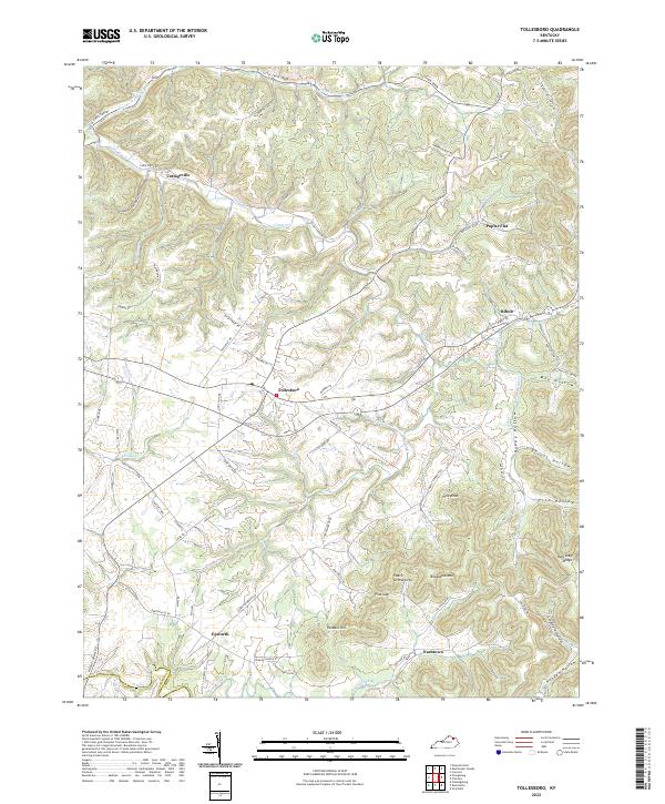
The Ohio River dominates this mid-1930s landscape, serving as a vital artery for transportation and a political boundary between Ohio and Kentucky. Along its southern bank, Maysville stands as a primary hub, adjacent to the Fair Grounds and Dam 33. The Chesapeake and Ohio railroad follows the river's curve, passing through settlements like Springdale and Sand Hill. Further inland, the terrain is defined by a dense network of country schools and family-named hollows, illustrating a rural society organized around small communities like Tollesboro and Rectorville.
Find a feature on this map
132 named features on this map. Tap any name to fly to it.
Don’t see what you’re looking for? This feature index may not catch every label — zoom into the map to look around manually.
Map Details
Editions of this 1935 Springdale Map
This is the sole edition of this map. No revisions or reprints were ever made.
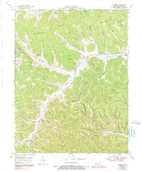
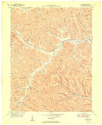
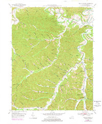
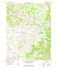
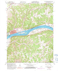
Historical Maps of Maysville Through Time
34 maps found
1929 Springdale
Lewis County, KY
1935 Springdale
Lewis County, KY
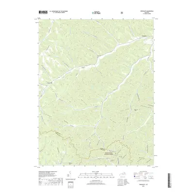
1949 Charters
Lewis County, KY
1950 Charters
Lewis County, KY
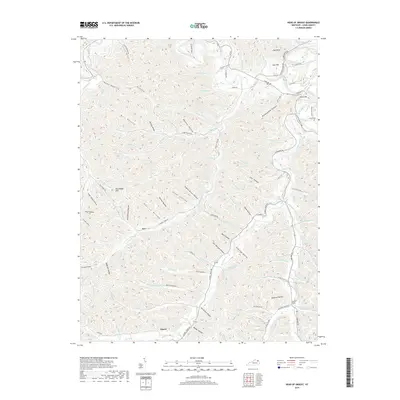
1950 Head of Grassy
Lewis County, KY

1951 Stricklett
Lewis County, KY
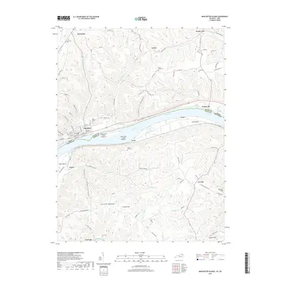
1952 Manchester Islands
Lewis County, KY
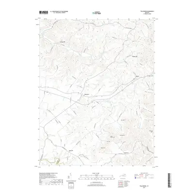
1953 Tollesboro
Lewis County, KY
1961 Manchester Islands
Lewis County, KY
2010 Charters
Lewis County, KY

2010 Head of Grassy
Lewis County, KY
2010 Manchester Islands
Lewis County, KY
2010 Tollesboro
Lewis County, KY
2011 Stricklett
Lewis County, KY
2013 Charters
Lewis County, KY

2013 Head of Grassy
Lewis County, KY
2013 Manchester Islands
Lewis County, KY
2013 Stricklett
Lewis County, KY
2013 Tollesboro
Lewis County, KY
2016 Charters
Lewis County, KY

2016 Head of Grassy
Lewis County, KY
2016 Manchester Islands
Lewis County, KY
2016 Stricklett
Lewis County, KY
2016 Tollesboro
Lewis County, KY
2019 Charters
Lewis County, KY
2019 Head of Grassy
Lewis County, KY
2019 Manchester Islands
Lewis County, KY
2019 Stricklett
Lewis County, KY
2019 Tollesboro
Lewis County, KY
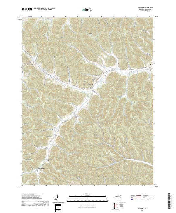
2022 Charters
Lewis County, KY
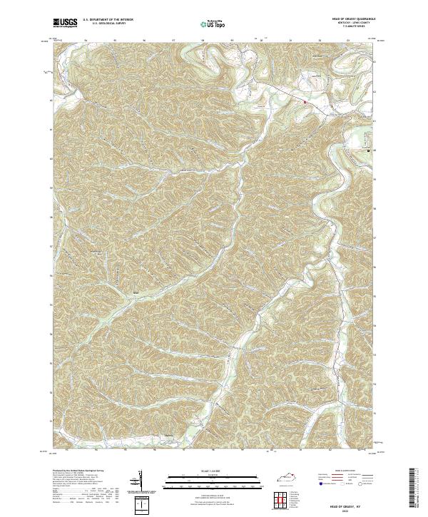
2022 Head of Grassy
Lewis County, KY
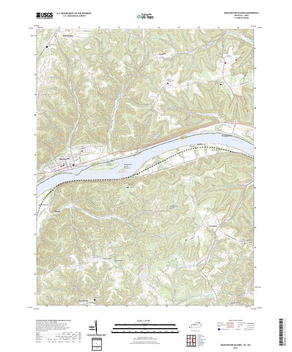
2022 Manchester Islands
Lewis County, KY
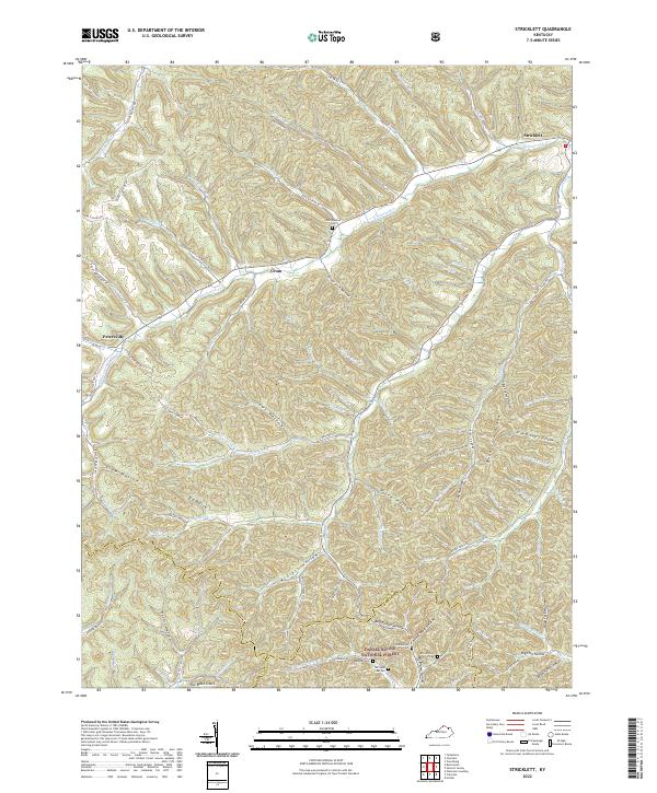
2022 Stricklett
Lewis County, KY
2022 Tollesboro
Lewis County, KY