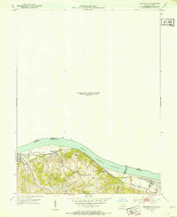
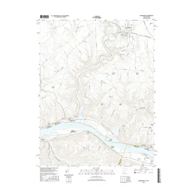
1931 Map of Higginsport
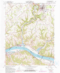
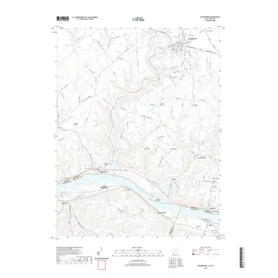
USGS Topo · Published 1948About this map
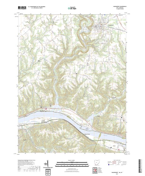
Georgetown serves as a central hub in this Southern Ohio landscape, where the confluence of several regional routes like the Cincinnati Georgetown and Portsmouth Road and the Hillsboro Road meet. The geography is defined by the winding course of Whiteoak Creek and its many tributaries, such as East Fork Whiteoak Creek, which carve deep valleys through the undulating terrain of Brown Co. Near the river, the Ohio River acts as the primary boundary between Ohio and Kentucky, connecting waterfront towns like Higginsport and Augusta with the Chesapeake and Ohio railroad corridor on the southern bank.
Find a feature on this map
140 named features on this map. Tap any name to fly to it.
Don’t see what you’re looking for? This feature index may not catch every label — zoom into the map to look around manually.
Map Details
Editions of this 1931 Higginsport Map
This is the sole edition of this map. No revisions or reprints were ever made.
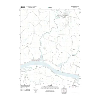
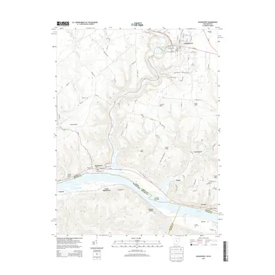
Historical Maps of Georgetown Through Time
9 maps found