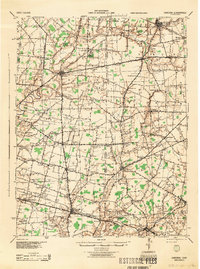
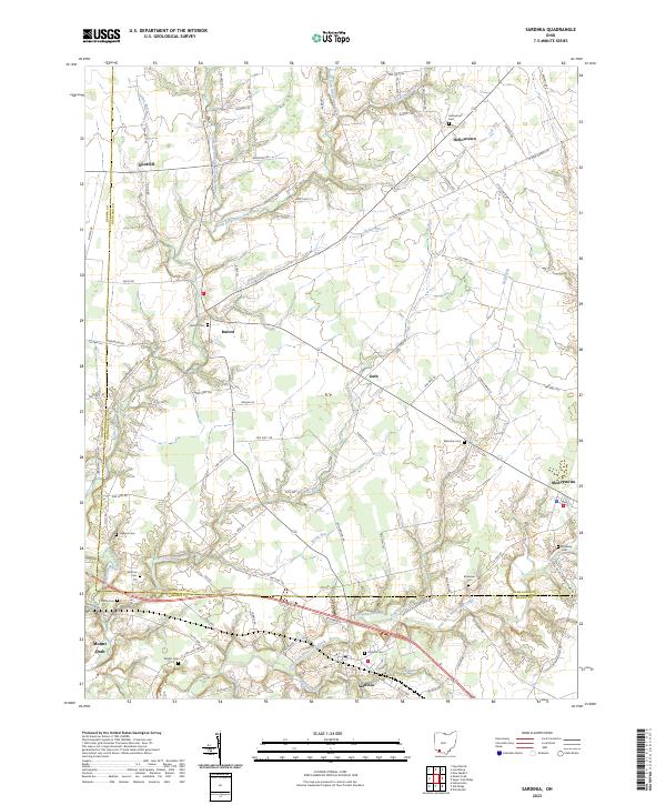
1917 Map of Sardinia
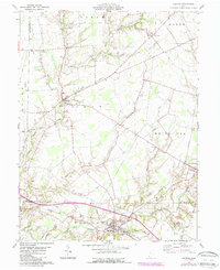
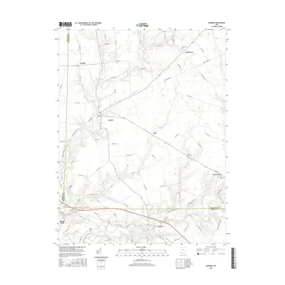
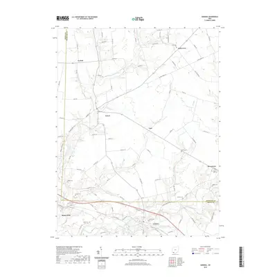
USGS Topo · Published 1946About this map
Lynchburg and Fayetteville anchor this detailed study of the rural landscape across the Brown and Highland county line during the mid-1910s. The region is defined by a dense network of small-scale education and religious centers, most notably the Ursuline Convent near Saint Martin. The distribution of dozens of local institutions, such as Richland School, Quinn School, and Stroup School, illustrates a late-agrarian social structure where community life was localized within walking distance of family farms.
Find a feature on this map
127 named features on this map. Tap any name to fly to it.
Don’t see what you’re looking for? This feature index may not catch every label — zoom into the map to look around manually.
Map Details
Editions of this 1917 Sardinia Map
This is the sole edition of this map. No revisions or reprints were ever made.
Historical Maps of Mount Orab Through Time
8 maps found