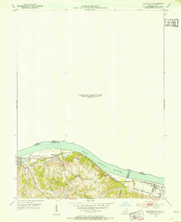
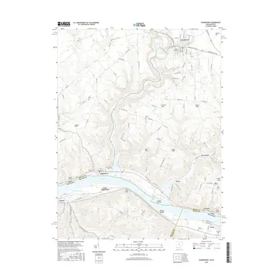
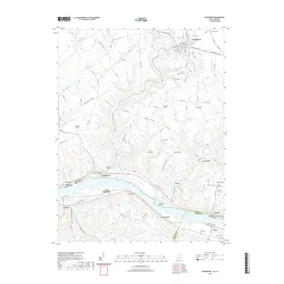
1928 Map of Higginsport
USGS Topo · Published 1928About this map
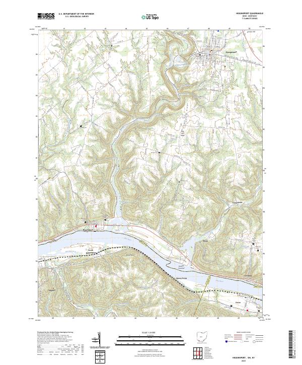
The Ohio River corridor along the Kentucky border is defined here by the steep, dissected bluffs and fertile bottomlands as they appeared during this 1928 survey. The river acts as both a boundary and a lifeline for established settlements like Augusta and Dover, which are connected by the vital transport corridor of the Chesapeake and Ohio railroad running parallel to the water. This particular sheet focuses on the southern bank, where the Kentucky Geological Survey and the Army Corps of Engineers tracked the complex drainage patterns of waterways like Big Bracken Creek and Raccoon Cr. Rural life in this era is anchored by small community landmarks such as Locust Grove Sch, situated near the confluence of Indian Cr. The map provides a high-resolution view of the topography before modern developments significantly altered the riverbank profile.
Find a feature on this map
15 named features on this map. Tap any name to fly to it.
Don’t see what you’re looking for? This feature index may not catch every label — zoom into the map to look around manually.
Map Details
Editions of this 1928 Higginsport Map
This is the sole edition of this map. No revisions or reprints were ever made.
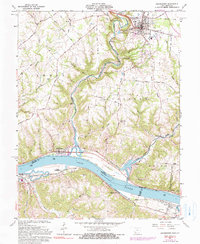
Historical Maps of Georgetown Through Time
9 maps found