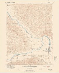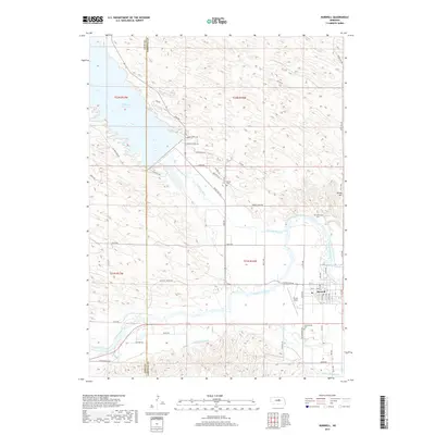
1985 Map of Burwell
USGS Topo · Published 1985About this map
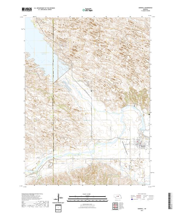
The North Loup River and Middle Loup River systems dictate the settlement patterns of this central Nebraska landscape as documented in 1985. Small agricultural centers and post offices like Brewster, Almeria, and Taylor serve as vital hubs for the surrounding ranching and farming communities. The map highlights the central role of water and topography in the Sandhills region, with numerous named valleys and canyons such as German Valley, Edith Valley, and Winnegar Canyon providing natural corridors through the varied terrain.
Find a feature on this map
63 named features on this map. Tap any name to fly to it.
Don’t see what you’re looking for? This feature index may not catch every label — zoom into the map to look around manually.
Map Details
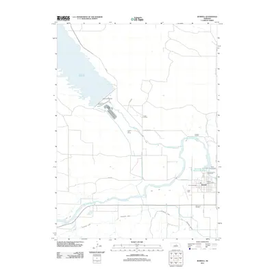
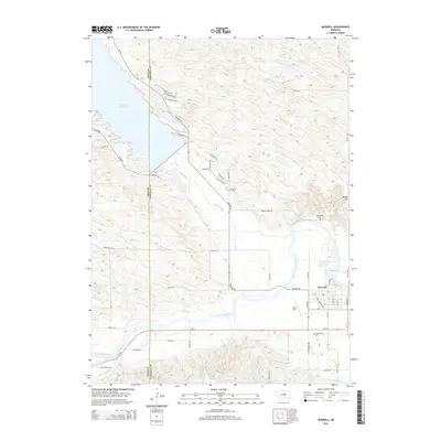
Editions of this 1985 Burwell Map
This is the sole edition of this map. No revisions or reprints were ever made.
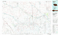
Historical Maps of Burwell Through Time
7 maps found