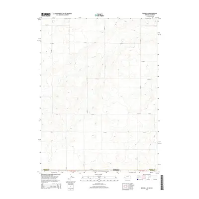
2014 Map of Bushnell SW
USGS Topo · Published 2014About this map
Pawnee National Grassland dominates the southern reaches of this high plains landscape along the border between Colorado and Nebraska. The terrain is characterized by a sparse, systematic grid of section roads that provide access to this open range, which was once a focal point for homesteading and ranching. The intersection of Co Road 140 and Co Road 9 marks the southern approach into these protected lands, while the northern extent is defined by a series of graded routes such as Co Road 20 and Road 18 S. This survey reflects the enduring section-line geometry of the American West, where administrative boundaries like Kimball Co Weld Co and t12n r59w dictate the movement across an otherwise open and windswept shortgrass prairie.
Find a feature on this map
19 named features on this map. Tap any name to fly to it.
Don’t see what you’re looking for? This feature index may not catch every label — zoom into the map to look around manually.
Map Details
Editions of this 2014 Bushnell SW Map
This is the sole edition of this map. No revisions or reprints were ever made.
Other maps of this area

1954 · Sterling
USGS Topo · 1:250,000

1954 · Scottsbluff
USGS Topo · 1:250,000

1954 · Cheyenne
USGS Topo · 1:250,000

1954 · Greeley
USGS Topo · 1:250,000

1957 · Greeley
USGS Topo · 1:250,000

1958 · Cheyenne
USGS Topo · 1:250,000

1958 · Greeley
USGS Topo · 1:250,000

1958 · Scottsbluff
USGS Topo · 1:250,000

1958 · Sterling
USGS Topo · 1:250,000

1961 · Greeley
USGS Topo · 1:250,000