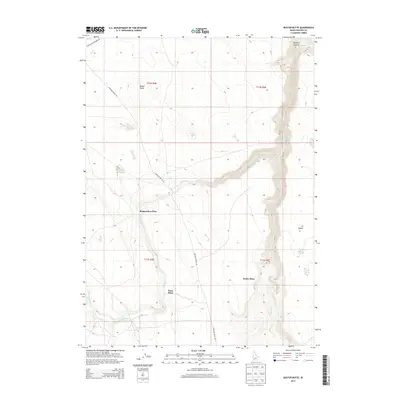
2013 Map of Buster Butte
USGS Topo · Published 2013About this map
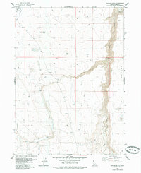
Bengoechea Place and Dans Place represent the distinct homesteading and ranching patterns of this high-plateau region in Owyhee County. The landscape is defined by the deep incision of Sheep Cr, which meanders through a winding canyon along the eastern edge of the quadrangle, contrasting with the more level expanses of the J-P Desert. Isolated water sources and named dwellings like James Place near James Lake indicate a land where life was tied strictly to available hydrology. Significant topographical landmarks like Buster Butte serve as navigational anchors in a region where the Rowland Route Rd and Blackstone Grasmere Rd provide the primary access through the drainage basins of Marys Cr and Nit Cr.
Find a feature on this map
17 named features on this map. Tap any name to fly to it.
Don’t see what you’re looking for? This feature index may not catch every label — zoom into the map to look around manually.
Map Details
Editions of this 2013 Buster Butte Map
This is the sole edition of this map. No revisions or reprints were ever made.
Other maps of this area

1955 · Twin Falls
USGS Topo · 1:250,000

1958 · Twin Falls
USGS Topo · 1:250,000
1979 · Antelope Creek
USGS Topo · 1:24,000

1979 · Indian Hot Springs
USGS Topo · 1:24,000

1979 · Blackstone Reservoir
USGS Topo · 1:24,000
1979 · Triguero Lake
USGS Topo · 1:24,000
1979 · Grasmere Reservoir
USGS Topo · 1:24,000

1979 · Cave Draw
USGS Topo · 1:24,000
1979 · Buster Butte
USGS Topo · 1:24,000
1979 · Buckhorn
USGS Topo · 1:24,000