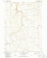
1979 Map of Buckhorn
USGS Topo · Published 1986About this map
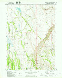
Marys Creek and Bull Creek define this high-plateau landscape in Owyhee County, where cattle ranching and water management appear as the primary human signatures on the land. The presence of the Duck Valley Indian Reservation in the southwest corner and numerous reservoirs like Harris Lake and Bitterbrush Reservoir underscore the critical importance of water rights in this arid environment. For the historian or genealogist, the map preserves the specific locations of early habitations and working sites, including the Frost Place (Ruins) and the Dickens Place (Site). These labels, alongside Buckhorn Corrals and the Bull Creek Crossing, suggest a landscape defined by seasonal movement and the long-distance trails required to navigate the draws and basins of the Owyhee backcountry.
Find a feature on this map
30 named features on this map. Tap any name to fly to it.
Don’t see what you’re looking for? This feature index may not catch every label — zoom into the map to look around manually.
Map Details
Editions of this 1979 Buckhorn Map
This is the sole edition of this map. No revisions or reprints were ever made.
Other maps of this area

1955 · Jordan Valley
USGS Topo · 1:250,000

1955 · Twin Falls
USGS Topo · 1:250,000

1957 · Jordan Valley
USGS Topo · 1:250,000

1958 · Twin Falls
USGS Topo · 1:250,000

1958 · Jordan Valley
USGS Topo · 1:250,000
1971 · Three Forks
USGS Topo · 1:24,000
1971 · Riddle
USGS Topo · 1:24,000

1972 · Little Blue Table
USGS Topo · 1:24,000
1979 · Antelope Creek
USGS Topo · 1:24,000
1979 · Indian Hay Meadows
USGS Topo · 1:24,000