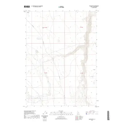
2020 Map of Buster Butte
USGS Topo · Published 2020About this map
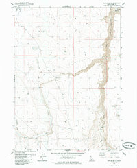
Buster Butte stands as a prominent landmark within this high-elevation landscape of Owyhee County. The terrain is characterized by the expansive J-P Desert and a network of drainage systems including Marys Cr, Sheep Cr, and Rattlesnake Cr. These watercourses carve through the high plateau, indicating a region where water management and seasonal flow dictate the rhythm of the land. In the northwest corner, the Grasmere Airport serves as a vital transit point in this isolated portion of Idaho, connected to the wider region by the Rowland Rt Rd. This 2020 survey illustrates the modern configuration of range management and public land use, showing how established routes and natural features like James Lake continue to define the character of the high desert.
Find a feature on this map
13 named features on this map. Tap any name to fly to it.
Don’t see what you’re looking for? This feature index may not catch every label — zoom into the map to look around manually.
Map Details
Editions of this 2020 Buster Butte Map
This is the sole edition of this map. No revisions or reprints were ever made.
Other maps of this area

1955 · Twin Falls
USGS Topo · 1:250,000

1958 · Twin Falls
USGS Topo · 1:250,000
1979 · Antelope Creek
USGS Topo · 1:24,000

1979 · Indian Hot Springs
USGS Topo · 1:24,000

1979 · Blackstone Reservoir
USGS Topo · 1:24,000
1979 · Triguero Lake
USGS Topo · 1:24,000
1979 · Grasmere Reservoir
USGS Topo · 1:24,000

1979 · Cave Draw
USGS Topo · 1:24,000
1979 · Buster Butte
USGS Topo · 1:24,000
1979 · Buckhorn
USGS Topo · 1:24,000