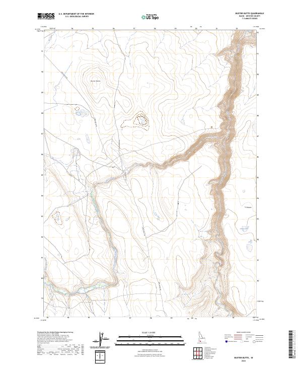
2024 Map of Buster Butte
USGS Topo · Published 2024About this map
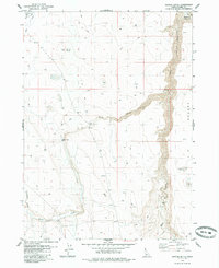
Bruneau Jarbidge-Rivers Wilderness dominates the eastern canyonlands of this Owyhee County map, where deep topographic relief defines the junction of the desert plateau and the river system. The landscape transition is marked by the Sheep Creek Wild and Scenic River, which carves a narrow, serpentine path through the terrain. To the west, the land rises toward the landmark of Buster Butte, a high point that overlooks the vast, arid expanse of the J-P Desert. The area is sparsely developed, with Rowland Rt Rd providing the primary access through the drainage basins of Marys Creek and Nit Creek. Intermittent water sources like James Lake and the winding course of Rattlesnake Creek reflect the challenging hydrology of this high-desert environment, where elevation and water access dictate the movement through the backcountry.
Find a feature on this map
14 named features on this map. Tap any name to fly to it.
Don’t see what you’re looking for? This feature index may not catch every label — zoom into the map to look around manually.
Map Details
Editions of this 2024 Buster Butte Map
This is the sole edition of this map. No revisions or reprints were ever made.
Other maps of this area

1955 · Twin Falls
USGS Topo · 1:250,000

1958 · Twin Falls
USGS Topo · 1:250,000
1979 · Antelope Creek
USGS Topo · 1:24,000

1979 · Indian Hot Springs
USGS Topo · 1:24,000

1979 · Blackstone Reservoir
USGS Topo · 1:24,000
1979 · Triguero Lake
USGS Topo · 1:24,000
1979 · Grasmere Reservoir
USGS Topo · 1:24,000

1979 · Cave Draw
USGS Topo · 1:24,000
1979 · Buster Butte
USGS Topo · 1:24,000
1979 · Buckhorn
USGS Topo · 1:24,000