2023 Map of Butler
USGS Topo · Published 2023About this map
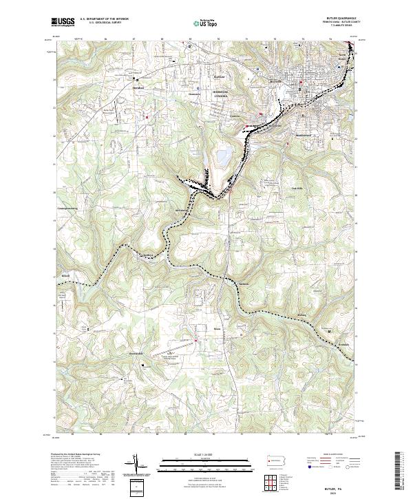
Butler serves as the focal point of this Pennsylvania landscape, characterized by its dense street grid and the prominent Butler County Courthouse. The area's industrial and community evolution is evident in the cluster of surrounding settlements like Lyndora, Bredinville, and Homeacre, which developed alongside established transport corridors like Pittsburgh Rd. The topography is defined by the winding paths of Connoquenessing Creek and Thorn Creek, which carved valleys that historically dictated the placement of rail lines and early roads.
Find a feature on this map
142 named features on this map. Tap any name to fly to it.
Don’t see what you’re looking for? This feature index may not catch every label — zoom into the map to look around manually.
Map Details
Editions of this 2023 Butler Map
This is the sole edition of this map. No revisions or reprints were ever made.
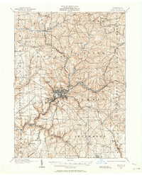
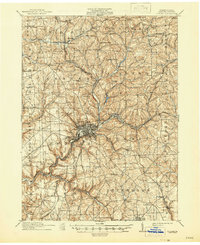
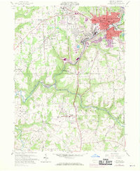
Historical Maps of Summit Township Through Time
4 maps found
Featured Locations
- Butler, PA
- Butler Township, PA
- Connoquenessing Township, PA
- Jefferson Township, PA
- Rockdale, Penn Township