Loading...
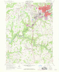
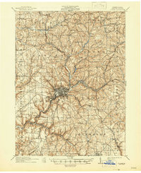
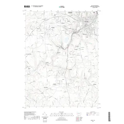
Loading map...1958 Map of Butler
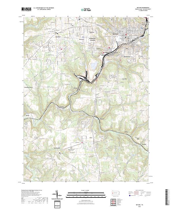
USGS Topo · Published 1970About this map
Butler and its industrial surroundings are captured in this mid-century topographic record, showing the city's transition as it grew beyond its traditional boundaries. Significant healthcare infrastructure is prominent, notably the Deshon V A Hospital and Butler Memorial Hospital. The landscape is etched with the routes of major railroads, including the Baltimore and Ohio, Penn Central, and Bessemer and Lake Erie, which helped shape the satellite communities of Lyndora, Meridian, and Renfrew.
Find a feature on this map
62 named features on this map. Tap any name to fly to it.
Don’t see what you’re looking for? This feature index may not catch every label — zoom into the map to look around manually.
Map Details
Date Portrayed1958
Date Published1970
PublisherU.S. Geological Survey
Map TypeTopographic
Scale1:24,000
Physical Dimensions22.1 x 27 inches
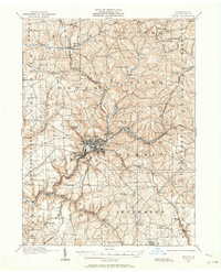
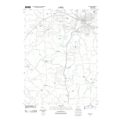
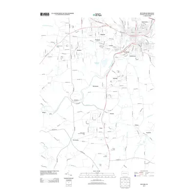
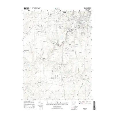
Editions of this 1958 Butler Map
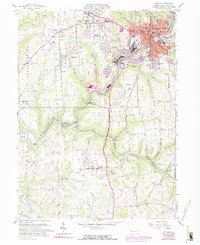
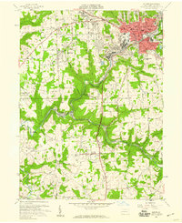
Historical Maps of Butler Through Time
8 maps found
Featured Locations
- Butler, PA
- Forward Township, PA
- Connoquenessing Township, PA
- Highfield, Butler Township
- Homeacre, Butler Township
Source Details
SourceU.S. Geological Survey
CopyrightPublic Domain