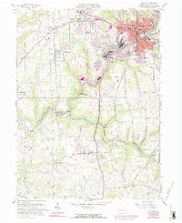
1958 Map of Butler
USGS Topo · Published 1958About this map
Butler stands as a significant industrial and transport hub in the late 1950s, defined by the convergence of the Baltimore and Ohio Railroad, Penn Central, and Bessemer and Lake Erie Railroad. The map details the dense urban core of the city alongside specialized industrial communities like Lyndora and Bredinville. Significant institutional presence is marked by the Deshon V-A Hospital and various schools like Northwest Sch and Township High Sch.
Find a feature on this map
74 named features on this map. Tap any name to fly to it.
Don’t see what you’re looking for? This feature index may not catch every label — zoom into the map to look around manually.
Map Details
Editions of this 1958 Butler Map
Other maps of this area

1906 · Sewickley
USGS Topo · 1:62,500

1908 · Sewickley
USGS Topo · 1:62,500

1908 · New Kensington
USGS Topo · 1:62,500

1908 · Zelienople
USGS Topo · 1:62,500

1909 · Butler
USGS Topo · 1:62,500

1910 · New Kensington
USGS Topo · 1:62,500

1910 · Zelienople
USGS Topo · 1:62,500

1911 · Butler
USGS Topo · 1:62,500

1950 · Valencia
USGS Topo · 1:24,000

1951 · Canton
USGS Topo · 1:250,000