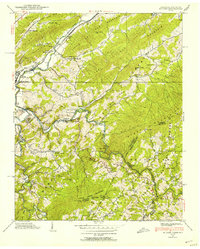
1938 Map of Butler
USGS Topo · Published 1954About this map
Roan Creek and the Watauga River converge at the town of Butler, providing a center for commerce and education in the late 1930s. The landscape is dotted with rural institutions that served the mountain communities, including the Watauga Academy and numerous small schoolhouses such as Sink Valley Sch and Bradley Sch. Transport across the waterways and through the steep terrain is evidenced by landmarks like the Dugger Bridge and the Lupperts Flume Bridge, while the Southern Transmission Line cuts across the northern ridges, signaling modern utility expansion into the Tennessee valley.
Find a feature on this map
89 named features on this map. Tap any name to fly to it.
Don’t see what you’re looking for? This feature index may not catch every label — zoom into the map to look around manually.
Map Details
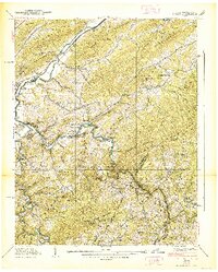
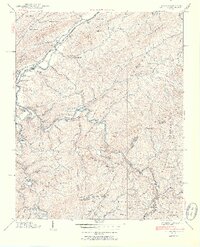
Editions of this 1938 Butler Map
3 editions found
Other maps of this area

1891 · Roan Mountain
USGS Topo · 1:125,000

1893 · Cranberry
USGS Topo · 1:125,000

1894 · Roan Mountain
USGS Topo · 1:125,000

1895 · Cranberry
USGS Topo · 1:125,000

1899 · Cranberry
USGS Topo · 1:125,000

1902 · Cranberry
USGS Topo · 1:125,000

1904 · Roan Mountain
USGS Topo · 1:125,000

1934 · Valle Crucis
USGS Topo · 1:24,000

1934 · White Rocks Mtn
USGS Topo · 1:24,000

1934 · Elk Park
USGS Topo · 1:24,000