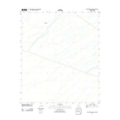
2011 Map of Butler Mountains
USGS Topo · Published 2011About this map
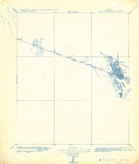
Butler Mountains rise in the northwestern corner of this arid landscape, located along the international border between Arizona and Sonora. The topography is defined by a sparse desert floor marked by a complex network of ephemeral drainage patterns that flow southeastward across the border region. This 2011 survey captures the remote character of the Butler Mountains and the surrounding basin before significant modern alteration, showing only the natural relief and the primary boundary line between the United States and Mexico. The lack of named settlements or man-made structures highlights the isolation of this corner of the desert, where the geological formations of the mountains provide the only prominent landmark.
Find a feature on this map
1 named feature on this map. Tap any name to fly to it.
Don’t see what you’re looking for? This feature index may not catch every label — zoom into the map to look around manually.
Map Details
Editions of this 2011 Butler Mountains Map
This is the sole edition of this map. No revisions or reprints were ever made.
Other maps of this area

1942 · Yuma
USGS Topo · 1:250,000

1954 · El Centro
USGS Topo · 1:250,000

1955 · El Centro
USGS Topo · 1:250,000

1958 · El Centro
USGS Topo · 1:250,000

1961 · El Centro
USGS Topo · 1:250,000

1964 · El Centro
USGS Topo · 1:250,000
1965 · Vopoki Ridge
USGS Topo · 1:62,500
1965 · Tinajas Altas
USGS Topo · 1:62,500
1980 · Tinajas Altas Mts
USGS Topo · 1:100,000
1982 · Tinajas Altas
USGS Topo · 1:125,000