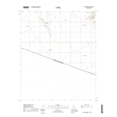
2018 Map of Butler Mountains
USGS Topo · Published 2018About this map
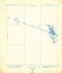
The international border between the United States of America Estados Unidos Mexicanos defines the lower third of this arid landscape, cutting a sharp diagonal northwest to southeast. This desert region is characterized by stark landforms, including the isolated peaks of the Butler Mountains and the northern reaches of the Tinajas Altas Mountains to the east. Between these elevations lie the expansive Yuma Desert and Davis Plain, offering a clear view of the natural barriers and open terrain that have historically shaped cross-border movement and land management in this portion of Yuma County. The lack of built infrastructure on the 2018 sheet emphasizes the remote character of the desert floor and its surrounding mountain ranges.
Find a feature on this map
9 named features on this map. Tap any name to fly to it.
Don’t see what you’re looking for? This feature index may not catch every label — zoom into the map to look around manually.
Map Details
Editions of this 2018 Butler Mountains Map
This is the sole edition of this map. No revisions or reprints were ever made.
Other maps of this area

1942 · Yuma
USGS Topo · 1:250,000

1954 · El Centro
USGS Topo · 1:250,000

1955 · El Centro
USGS Topo · 1:250,000

1958 · El Centro
USGS Topo · 1:250,000

1961 · El Centro
USGS Topo · 1:250,000

1964 · El Centro
USGS Topo · 1:250,000
1965 · Vopoki Ridge
USGS Topo · 1:62,500
1965 · Tinajas Altas
USGS Topo · 1:62,500
1980 · Tinajas Altas Mts
USGS Topo · 1:100,000
1982 · Tinajas Altas
USGS Topo · 1:125,000