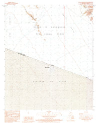
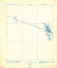
1990 Map of Butler Mountains
USGS Topo · Published 1991About this map
Ignacio Zaragoza sits as a lonely grid of habitation along the international boundary, providing a rare point of settlement in this arid borderland. The landscape is defined by the stark divide between the Yuma Desert in Arizona and the Desierto de Altar in Sonora, Mexico. To the north, the Butler Mountains and Tinajas Altas Mountains rise from the gravelly expanse of Davis Plain. Much of the American side is occupied by the Barry M Goldwater Air Force Range, a massive military training area that has preserved the area from civilian development. The map shows the intricate network of 4WD tracks and unimproved roads that navigate the basins between these desert ranges, marking the difficult transit through one of the hottest regions in North America.
Find a feature on this map
11 named features on this map. Tap any name to fly to it.
Don’t see what you’re looking for? This feature index may not catch every label — zoom into the map to look around manually.
Map Details
Editions of this 1990 Butler Mountains Map
This is the sole edition of this map. No revisions or reprints were ever made.
Other maps of this area

1942 · Yuma
USGS Topo · 1:250,000

1954 · El Centro
USGS Topo · 1:250,000

1955 · El Centro
USGS Topo · 1:250,000

1958 · El Centro
USGS Topo · 1:250,000

1961 · El Centro
USGS Topo · 1:250,000

1964 · El Centro
USGS Topo · 1:250,000
1965 · Vopoki Ridge
USGS Topo · 1:62,500
1965 · Tinajas Altas
USGS Topo · 1:62,500
1980 · Tinajas Altas Mts
USGS Topo · 1:100,000
1982 · Tinajas Altas
USGS Topo · 1:125,000