
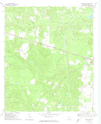
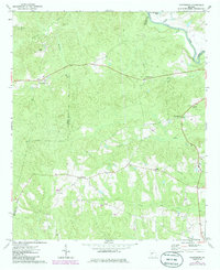
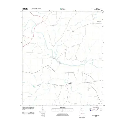
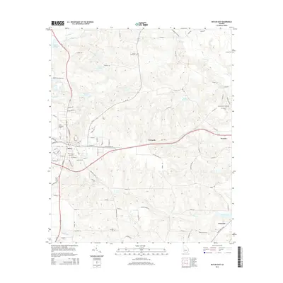
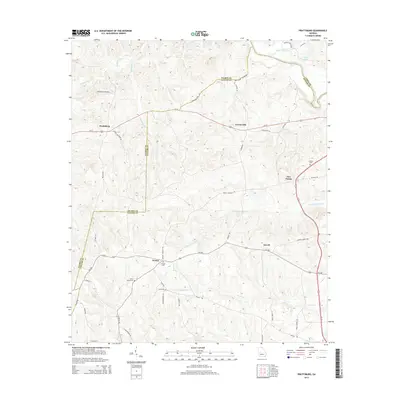
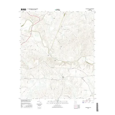
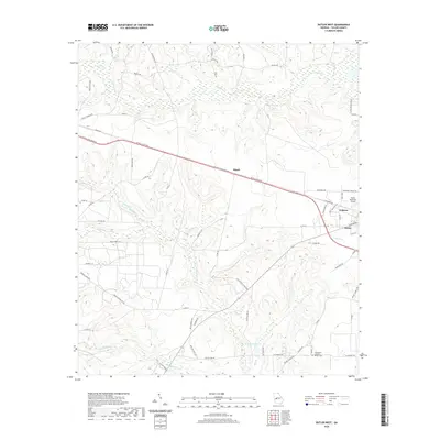
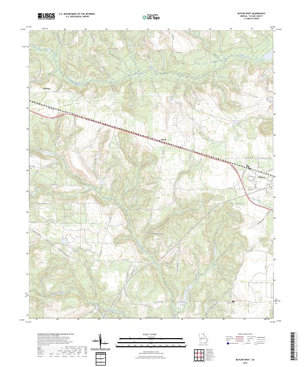
1971 Map of Butler West
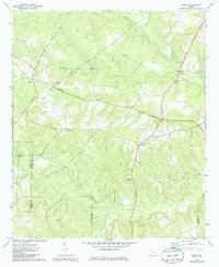
USGS Topo · Published 1985About this map
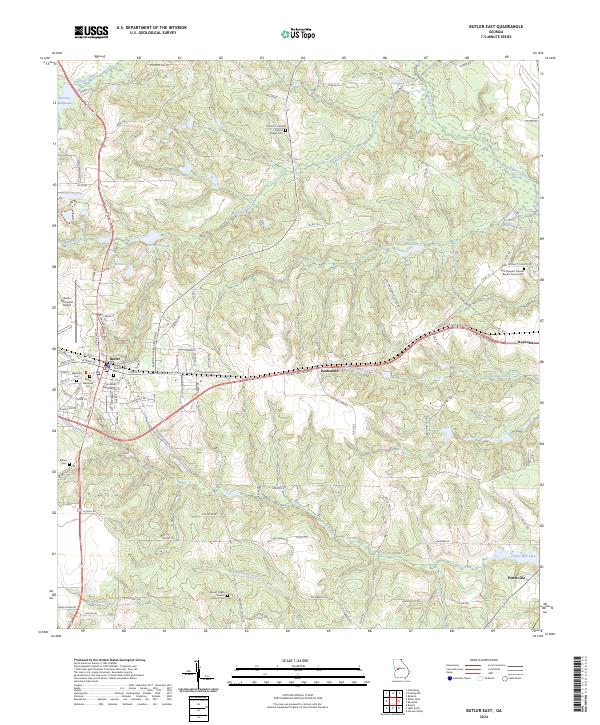
Butler and its western rural outskirts in Taylor County are defined by a complex network of waterways and the steady path of the Central of Georgia railroad. This landscape, as it appeared in the early 1970s with updates through the mid-1980s, reveals a quiet agricultural and industrial character punctuated by small clusters like Mizell, Goldson, and Bigbee. The terrain is deeply carved by the drainage systems of Patsiliga Creek and Little Whitewater Creek, creating a rugged texture of ridges and creek bottoms that influenced the placement of early homesteads and transport routes.
Find a feature on this map
18 named features on this map. Tap any name to fly to it.
Don’t see what you’re looking for? This feature index may not catch every label — zoom into the map to look around manually.
Map Details
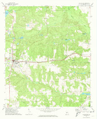
Editions of this 1971 Butler West Map
2 editions found
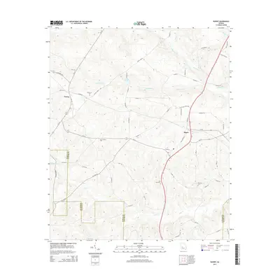
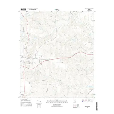
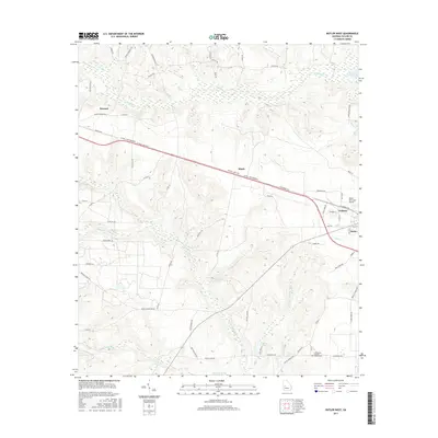
Historical Maps of Butler Through Time
36 maps found
1971 Butler East
Taylor County, GA
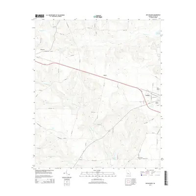
1971 Butler West
Taylor County, GA
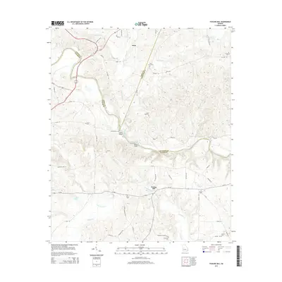
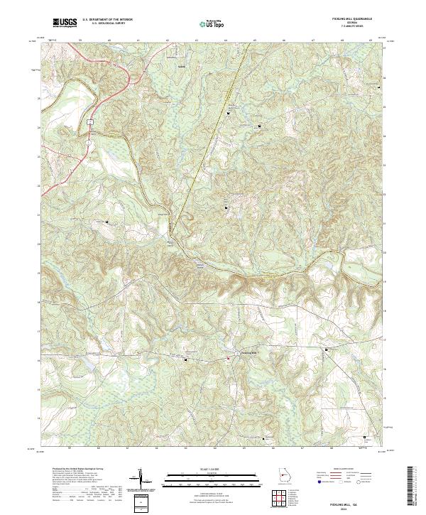
1971 Fickling Mill
Taylor County, GA
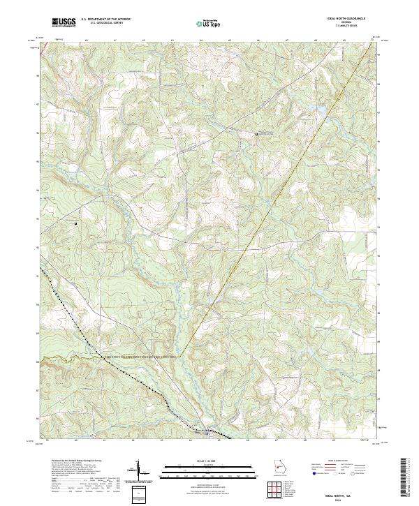
1971 Ideal North
Taylor County, GA
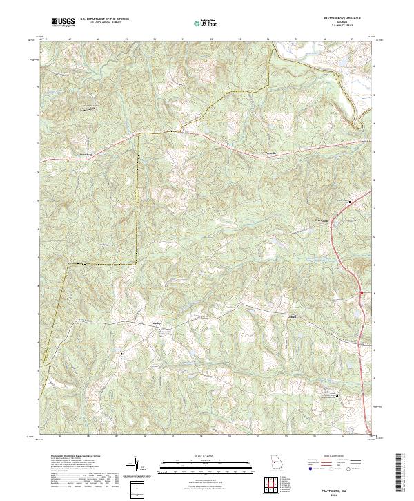
1971 Prattsburg
Taylor County, GA
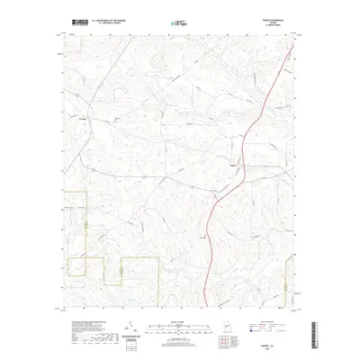
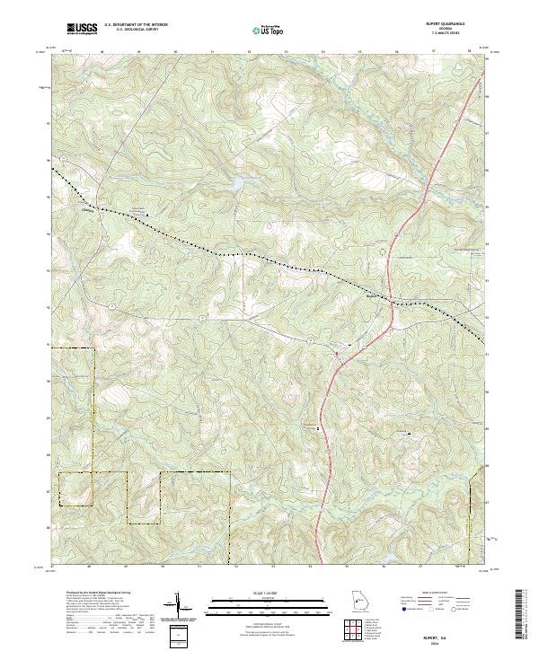
1971 Rupert
Taylor County, GA
2011 Butler East
Taylor County, GA
2011 Butler West
Taylor County, GA
2011 Fickling Mill
Taylor County, GA
2011 Ideal North
Taylor County, GA
2011 Prattsburg
Taylor County, GA
2011 Rupert
Taylor County, GA
2014 Butler East
Taylor County, GA
2014 Butler West
Taylor County, GA
2014 Fickling Mill
Taylor County, GA
2014 Ideal North
Taylor County, GA
2014 Prattsburg
Taylor County, GA
2014 Rupert
Taylor County, GA
2017 Butler East
Taylor County, GA
2017 Butler West
Taylor County, GA
2017 Fickling Mill
Taylor County, GA

2017 Ideal North
Taylor County, GA
2017 Prattsburg
Taylor County, GA
2017 Rupert
Taylor County, GA
2020 Butler East
Taylor County, GA
2020 Butler West
Taylor County, GA
2020 Fickling Mill
Taylor County, GA
2020 Ideal North
Taylor County, GA
2020 Prattsburg
Taylor County, GA
2020 Rupert
Taylor County, GA
2024 Butler East
Taylor County, GA
2024 Butler West
Taylor County, GA
2024 Fickling Mill
Taylor County, GA
2024 Ideal North
Taylor County, GA
2024 Prattsburg
Taylor County, GA
2024 Rupert
Taylor County, GA