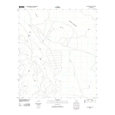
2010 Map of Butterbowl
USGS Topo · Published 2010About this map
Santiago Mountains dominate the horizon of this West Texas landscape, where the high desert meets isolated ranching outposts. The topographic detail reveals a network of arid drainage systems including Chalk Draw and Bee Cave Canyon, which carve through the limestone and volcanic terrain between the Black Hills and Red Mountian. This 2010 survey illustrates the sparse but deliberate human footprint in the Big Bend region, centered on local landmarks like Rixon Ranch and the eponymous Butterbowl settlement.
Find a feature on this map
19 named features on this map. Tap any name to fly to it.
Don’t see what you’re looking for? This feature index may not catch every label — zoom into the map to look around manually.
Map Details
Editions of this 2010 Butterbowl Map
This is the sole edition of this map. No revisions or reprints were ever made.
Other maps of this area

1917 · Santiago Peak
USGS Topo · 1:62,500

1917 · Bone Spring
USGS Topo · 1:62,500

1917 · Hood Spring
USGS Topo · 1:62,500

1918 · Bone Spring
USGS Topo · 1:125,000

1918 · Hood Spring
USGS Topo · 1:62,500

1918 · Santiago Peak
USGS Topo · 1:62,500

1918 · Bone Spring
USGS Topo · 1:62,500

1918 · Nine Point Mesa
USGS Topo · 1:62,500

1920 · Bone Spring
USGS Topo · 1:62,500

1931 · Hood Spring
USGS Topo · 1:62,500