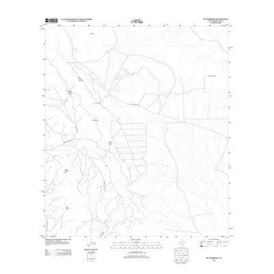
2012 Map of Butterbowl
USGS Topo · Published 2012About this map
Rixon Ranch and the eponymous Butterbowl settlement anchor this arid reach of Brewster County, where the landscape is defined by complex drainage patterns and isolated peaks. Water sources are scarce but critical, marked by features such as Cedar Spring and Cedar Cr in the southwestern portion of the quadrangle. The terrain rises sharply at Red Mtn and Lower Flattop Hill, providing natural vantage points over the surrounding draws.
Find a feature on this map
16 named features on this map. Tap any name to fly to it.
Don’t see what you’re looking for? This feature index may not catch every label — zoom into the map to look around manually.
Map Details
Editions of this 2012 Butterbowl Map
This is the sole edition of this map. No revisions or reprints were ever made.
Other maps of this area

1917 · Santiago Peak
USGS Topo · 1:62,500

1917 · Bone Spring
USGS Topo · 1:62,500

1917 · Hood Spring
USGS Topo · 1:62,500

1918 · Bone Spring
USGS Topo · 1:125,000

1918 · Hood Spring
USGS Topo · 1:62,500

1918 · Santiago Peak
USGS Topo · 1:62,500

1918 · Bone Spring
USGS Topo · 1:62,500

1918 · Nine Point Mesa
USGS Topo · 1:62,500

1920 · Bone Spring
USGS Topo · 1:62,500

1931 · Hood Spring
USGS Topo · 1:62,500