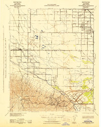
1942 Map of Buttonwillow
USGS Topo · Published 1942About this map
Large-scale petroleum extraction and intensive agricultural irrigation define this section of the San Joaquin Valley during the early 1940s. The southern landscape is dominated by the Naval Petroleum Reserve No 1 and the Elk Hills, while the valley floor is a complex grid of namesake ranches and water management systems. Named operations like Poplar Grove Ranch, Elk Grove Ranch, and Freeborn Bros Ranch are supported by a dense network of canals including the East Side Canal and West Side Canal.
Find a feature on this map
79 named features on this map. Tap any name to fly to it.
Don’t see what you’re looking for? This feature index may not catch every label — zoom into the map to look around manually.
Map Details
Editions of this 1942 Buttonwillow Map
This is the sole edition of this map. No revisions or reprints were ever made.
Other maps of this area

1910 · Buena Vista Lake
USGS Topo · 1:125,000

1912 · McKittrick
USGS Topo · 1:125,000

1912 · Buena Vista Lake
USGS Topo · 1:125,000

1914 · Lost Hills
USGS Topo · 1:125,000

1927 · Semitropic
USGS Topo · 1:31,680

1929 · Stevens
USGS Topo · 1:31,680

1929 · Coles Levee
USGS Topo · 1:31,680

1929 · Mouth of Kern
USGS Topo · 1:31,680

1930 · Leonards
USGS Topo · 1:31,680

1930 · Wasco
USGS Topo · 1:31,680