
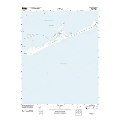
2011 Map of Buxton
USGS Topo · Published 2011About this map
Cape Hatteras Lighthouse stands at the southern edge of this coastal survey, anchoring a narrow stretch of the Outer Banks between the Atlantic Ocean and the expansive Pamlico Sound. The landscape is defined by its transition from open water to marshy fingers, with points like Gibbs Point, Otter Pond Point, and Black Hammock reaching into the sound. The two primary settlements, Avon and Buxton, are connected by a network of local roads such as Kinnakeet and Lighthouse Rd, reflecting the residential and maritime character of the area.
Find a feature on this map
28 named features on this map. Tap any name to fly to it.
Don’t see what you’re looking for? This feature index may not catch every label — zoom into the map to look around manually.
Map Details
Editions of this 2011 Buxton Map
This is the sole edition of this map. No revisions or reprints were ever made.
Other maps of this area

1948 · Cape Hatteras
USGS Topo · 1:24,000

1948 · Buxton
USGS Topo · 1:24,000

1950 · Cape Hatteras
USGS Topo · 1:24,000

1950 · Buxton
USGS Topo · 1:24,000

1955 · Wanchese
USGS Topo · 1:250,000

1957 · Manteo
USGS Topo · 1:250,000

1960 · Manteo
USGS Topo · 1:250,000

1985 · Cape Hatteras
USGS Topo · 1:100,000

2002 · Cape Hatteras
USGS Topo · 1:24,000
2011 · Hatteras
USGS Topo · 1:24,000