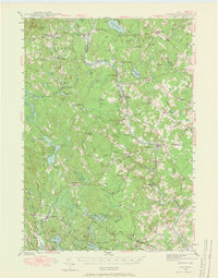
1942 Map of Buxton
USGS Topo · Published 1965About this map
The Saco River defines the landscape of this York County region during the early 1940s, winding south from East Limington through West Buxton and toward Union Falls. This waterway served as the historical spine for early industry and settlement, as seen in the concentration of villages like Bar Mills and Salmon Falls along its banks. The map documents a well-developed network of rural infrastructure, including the Maine Central railroad and a dense system of local schools such as Shadigee Sch and the Whittier Sch.
Find a feature on this map
106 named features on this map. Tap any name to fly to it.
Don’t see what you’re looking for? This feature index may not catch every label — zoom into the map to look around manually.
Map Details
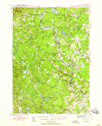
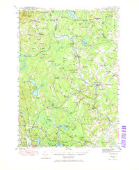
Editions of this 1942 Buxton Map
3 editions found
Other maps of this area

1891 · Portland
USGS Topo · 1:62,500

1891 · Biddeford
USGS Topo · 1:62,500

1891 · Berwick
USGS Topo · 1:62,500

1891 · Kennebunk
USGS Topo · 1:62,500

1891 · Buxton
USGS Topo · 1:62,500

1891 · Newfield
USGS Topo · 1:62,500

1892 · Buxton
USGS Topo · 1:62,500

1893 · Kennebunk
USGS Topo · 1:62,500

1893 · Berwick
USGS Topo · 1:62,500

1893 · Biddeford
USGS Topo · 1:62,500