Loading...
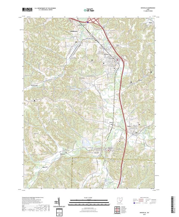
Loading map...2023 Map of Byesville
USGS Topo · Published 2023About this map
Wills Creek meanders through this portion of Guernsey County, serving as the central drainage for a landscape dotted with small coal-era settlements and numerous country burial grounds. The community of Byesville serves as a local hub, situated just south of the interstate corridor and east of Cambridge Municipal Airport. Further south, the map details the village of Pleasant City and the crossing of Seneca Fork Wills Creek.
Find a feature on this map
65 named features on this map. Tap any name to fly to it.
Don’t see what you’re looking for? This feature index may not catch every label — zoom into the map to look around manually.
Map Details
Date Portrayed2023
Date Published2023
PublisherU.S. Geological Survey
Map TypeTopographic
Scale1:24000
Physical Dimensions24 x 29 inches
Editions of this 2023 Byesville Map
This is the sole edition of this map. No revisions or reprints were ever made.
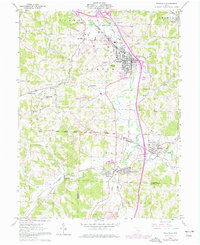
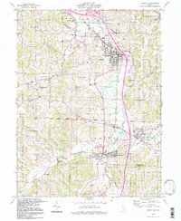
Historical Maps of Marysville Through Time
3 maps found
Featured Locations
Source Details
SourceU.S. Geological Survey
CopyrightPublic Domain