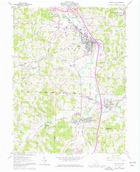
1961 Map of Byesville
USGS Topo · Published 1977About this map
Wills Creek meanders through the heart of this landscape, anchoring a valley defined by early 1960s industry and coal extraction. Extensive Strip Mine operations and several Kilns point to the region's mineral-rich economy, while the local infrastructure includes the Cambridge Municipal Airport and a network of Oil Wells. The town of Byesville serves as the primary hub, surrounded by smaller coal and rail-oriented settlements like Derwent, Buffalo, and the hilltop community of Robins.
Find a feature on this map
49 named features on this map. Tap any name to fly to it.
Don’t see what you’re looking for? This feature index may not catch every label — zoom into the map to look around manually.
Map Details
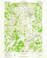
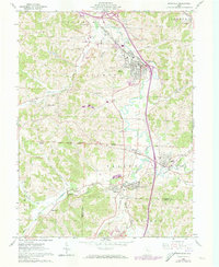
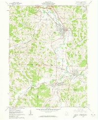
Editions of this 1961 Byesville Map
4 editions found
Other maps of this area

1909 · Antrim
USGS Topo · 1:48,000

1909 · Summerfield
USGS Topo · 1:62,500

1909 · Cambridge
USGS Topo · 1:62,500

1911 · Antrim
USGS Topo · 1:62,500

1911 · Cumberland
USGS Topo · 1:62,500

1911 · Summerfield
USGS Topo · 1:62,500

1912 · Cambridge
USGS Topo · 1:62,500

1949 · Clarksburg
USGS Topo · 1:250,000

1951 · Canton
USGS Topo · 1:250,000

1953 · Canton
USGS Topo · 1:250,000