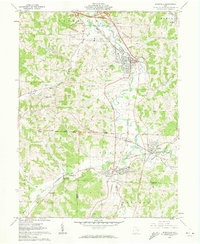
1961 Map of Byesville
USGS Topo · Published 1974About this map
The industrial and agricultural landscape of Guernsey and Noble Counties is defined here by the winding course of Wills Creek and an extensive network of Strip Mines. In the early 1960s, the region was a hub of coal extraction and rail transport, evidenced by the Pennsylvania railroad line and the Baltimore and Ohio Railroad Grade connecting coal-patch towns like Byesville, Buffalo, and Pleasant City.
Find a feature on this map
47 named features on this map. Tap any name to fly to it.
Don’t see what you’re looking for? This feature index may not catch every label — zoom into the map to look around manually.
Map Details
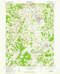
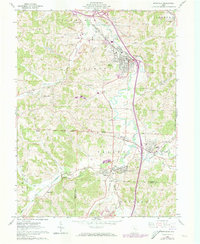
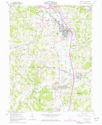
Editions of this 1961 Byesville Map
4 editions found
Other maps of this area

1909 · Antrim
USGS Topo · 1:48,000

1909 · Summerfield
USGS Topo · 1:62,500

1909 · Cambridge
USGS Topo · 1:62,500

1911 · Antrim
USGS Topo · 1:62,500

1911 · Cumberland
USGS Topo · 1:62,500

1911 · Summerfield
USGS Topo · 1:62,500

1912 · Cambridge
USGS Topo · 1:62,500

1949 · Clarksburg
USGS Topo · 1:250,000

1951 · Canton
USGS Topo · 1:250,000

1953 · Canton
USGS Topo · 1:250,000