Loading...
Loading map...2024 Map of Bynum
USGS Topo · Published 2024About this map
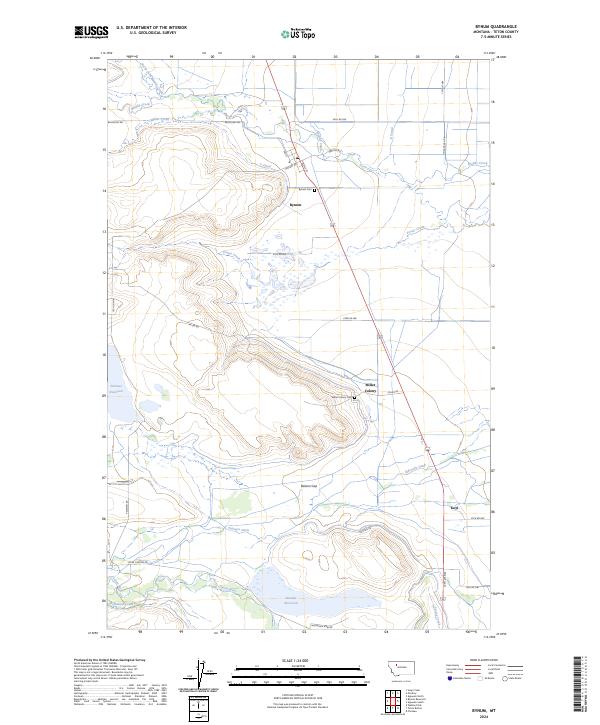
The high plains of Teton County are defined here by a sophisticated irrigation and conservation network, centered around the settlement of Bynum. The landscape is a complex map of water management, where the S Canal and Eldorado Ditch draw from the surrounding hydrology to support the agricultural community. To the north and south, the Blackfoot Valley Conservation Area and the Teton County Waterfowl Production Area protect the ecological integrity of the eastern Rocky Mountain front.
Find a feature on this map
43 named features on this map. Tap any name to fly to it.
Don’t see what you’re looking for? This feature index may not catch every label — zoom into the map to look around manually.
Map Details
Date Portrayed2024
Date Published2024
PublisherU.S. Geological Survey
Map TypeTopographic
Scale1:24000
Physical Dimensions24 x 29 inches
Editions of this 2024 Bynum Map
This is the sole edition of this map. No revisions or reprints were ever made.
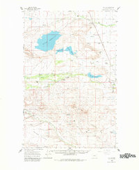
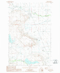
Historical Maps of Koyl Through Time
Featured Locations
Source Details
SourceU.S. Geological Survey
CopyrightPublic Domain