Loading...
Loading map...2023 Map of Caballo
USGS Topo · Published 2023About this map
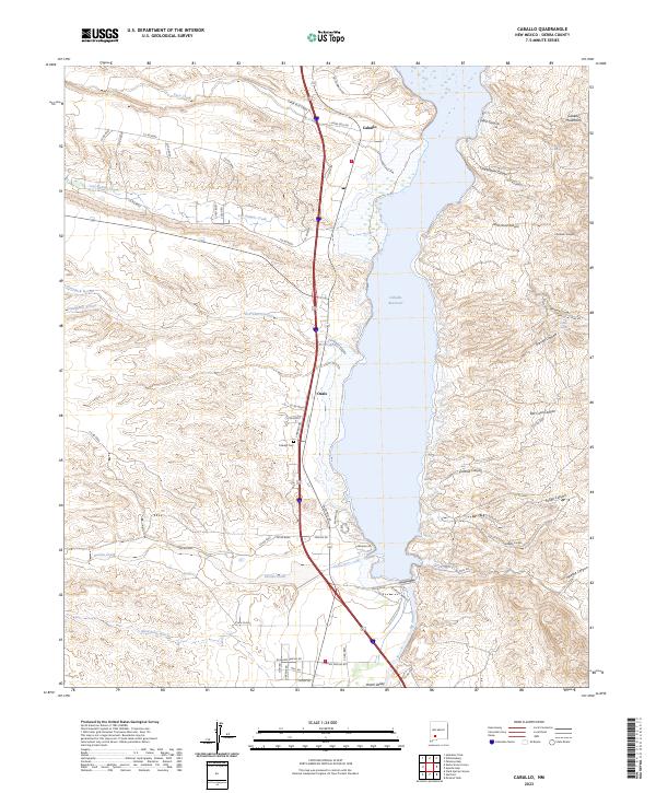
Caballo Reservoir dominates this landscape, held by dammed waters that submerged parts of the Rio Grande valley. Along its western shore, the small settlement of Oasis and the Caballo Cem sit near the base of intricate drainage networks including Las Animas Creek and Percha Creek. The topography is sharply defined by the transition from the high desert arroyos and canyons to the east, such as Bat Cave Canyon and Apache Canyon, which descend from the Caballo Mountains.
Find a feature on this map
62 named features on this map. Tap any name to fly to it.
Don’t see what you’re looking for? This feature index may not catch every label — zoom into the map to look around manually.
Map Details
Date Portrayed2023
Date Published2023
PublisherU.S. Geological Survey
Map TypeTopographic
Scale1:24000
Physical Dimensions24 x 29 inches
Editions of this 2023 Caballo Map
This is the sole edition of this map. No revisions or reprints were ever made.
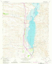
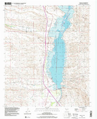
Historical Maps of Caballo Through Time
Featured Locations
Source Details
SourceU.S. Geological Survey
CopyrightPublic Domain