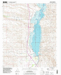
1996 Map of Caballo
USGS Topo · Published 2002About this map
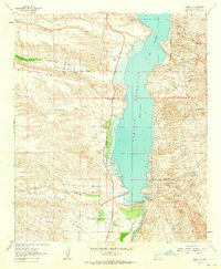
Caballo Lake State Park Reservoir dominates this high-desert landscape, captured here as it appeared in the mid-1990s. The impounded waters of the Rio Grande are held by the Caballo Dam, with the Percha Diversion Dam situated further downstream to manage irrigation flow. The map reveals the settlement patterns of Caballo, featuring a P O and Community Hall, alongside the nearby Caballo Oasis.
Find a feature on this map
48 named features on this map. Tap any name to fly to it.
Don’t see what you’re looking for? This feature index may not catch every label — zoom into the map to look around manually.
Map Details
Editions of this 1996 Caballo Map
This is the sole edition of this map. No revisions or reprints were ever made.
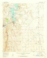
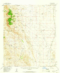
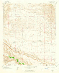
Other maps of this area

1954 · Tularosa
USGS Topo · 1:250,000

1955 · Las Cruces
USGS Topo · 1:250,000

1958 · Las Cruces
USGS Topo · 1:250,000

1958 · Tularosa
USGS Topo · 1:250,000
1959 · Engle
USGS Topo · 1:62,500
1959 · Upham
USGS Topo · 1:62,500

1961 · Skute Stone Arroyo
USGS Topo · 1:24,000
1961 · Saladone Tank
USGS Topo · 1:24,000
1961 · Caballo
USGS Topo · 1:24,000
1961 · Clark Spring Canyon
USGS Topo · 1:24,000