
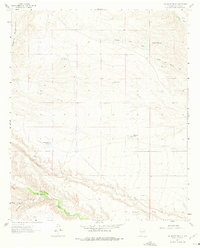
1961 Map of Saladone Tank
USGS Topo · Published 1963About this map
Saladone Tank and a network of remote water catchments define this arid landscape in the Salado Mountains during the early 1960s. The region is characterized by deep drainage systems like King Arroyo and Seco Creek, where survival in the high desert required carefully placed infrastructure. The map reveals the ranching legacy of Sierra County through features like the School Section Tank and Wild Horse Windmill, indicating the vital importance of groundwater management in this terrain.
Find a feature on this map
20 named features on this map. Tap any name to fly to it.
Don’t see what you’re looking for? This feature index may not catch every label — zoom into the map to look around manually.
Map Details
Editions of this 1961 Saladone Tank Map
2 editions found
Other maps of this area

1935 · Hillsboro
USGS Topo · 1:48,000

1940 · Hillsboro
USGS Topo · 1:62,500

1954 · Tularosa
USGS Topo · 1:250,000

1955 · Las Cruces
USGS Topo · 1:250,000

1958 · Las Cruces
USGS Topo · 1:250,000

1958 · Tularosa
USGS Topo · 1:250,000

1961 · Skute Stone Arroyo
USGS Topo · 1:24,000

1961 · Caballo
USGS Topo · 1:24,000

1961 · Williamsburg NW
USGS Topo · 1:24,000

1961 · Williamsburg
USGS Topo · 1:24,000