
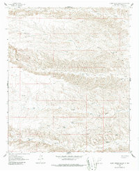
1961 Map of Clark Spring Canyon
USGS Topo · Published 1964About this map
Clark Spring Canyon and the surrounding drainage basins of Sierra County define this early 1960s landscape, where water management is the primary marker of human activity. The map documents an intricate network of livestock-related infrastructure, including the Apedaca Windmill, Copper Windmill, and essential water catchments like Cedar Tank and Tucup Tank. These features, along with numerous named wells such as Lacy Well and Wiggs Well, illustrate the mid-century ranching economy reliant on subterranean water sources and seasonal runoff.
Find a feature on this map
23 named features on this map. Tap any name to fly to it.
Don’t see what you’re looking for? This feature index may not catch every label — zoom into the map to look around manually.
Map Details
Editions of this 1961 Clark Spring Canyon Map
2 editions found
Other maps of this area

1935 · Hillsboro
USGS Topo · 1:48,000

1940 · Hillsboro
USGS Topo · 1:62,500

1955 · Las Cruces
USGS Topo · 1:250,000

1958 · Las Cruces
USGS Topo · 1:250,000

1958 · Arroyo Cuervo
USGS Topo · 1:24,000

1961 · Skute Stone Arroyo
USGS Topo · 1:24,000

1961 · Caballo
USGS Topo · 1:24,000

1961 · Nutt
USGS Topo · 1:62,500

1961 · Garfield
USGS Topo · 1:24,000

1962 · Lake Valley
USGS Topo · 1:62,500