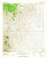
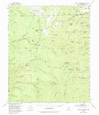
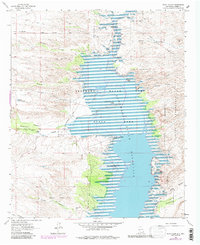
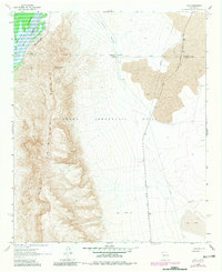
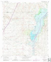
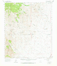
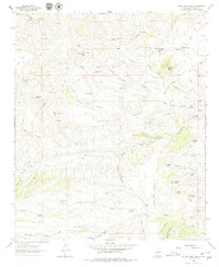
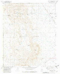
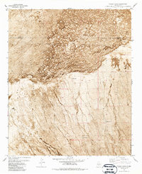
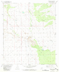
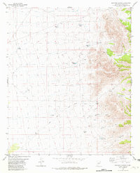
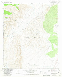
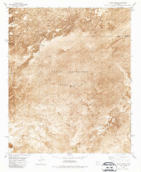
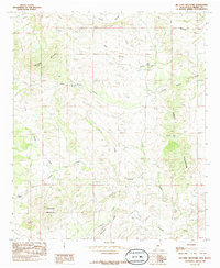
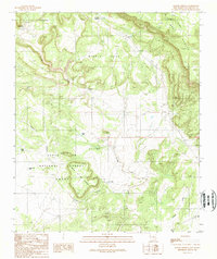
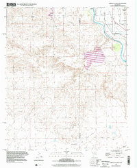
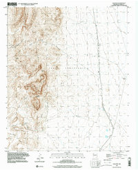
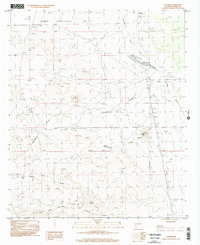
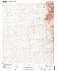
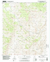
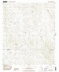
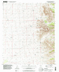
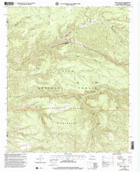
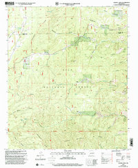
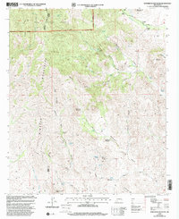
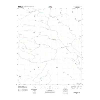
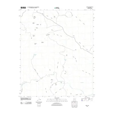
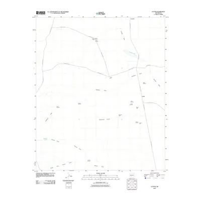
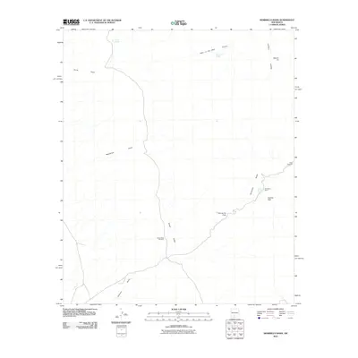
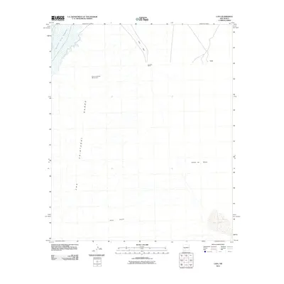
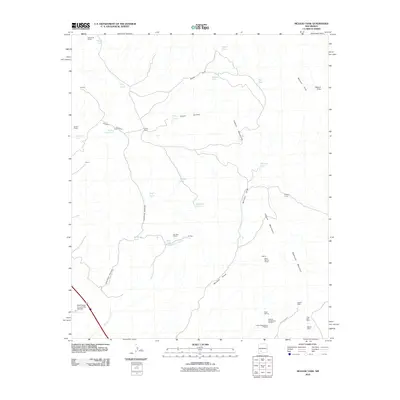
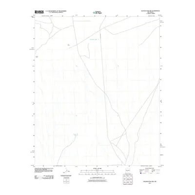
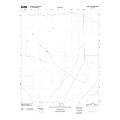
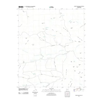
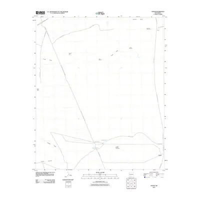
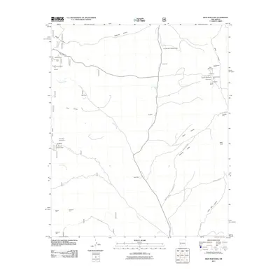
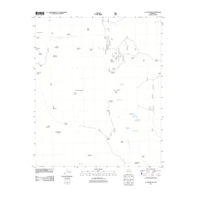
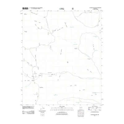
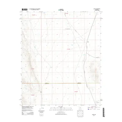
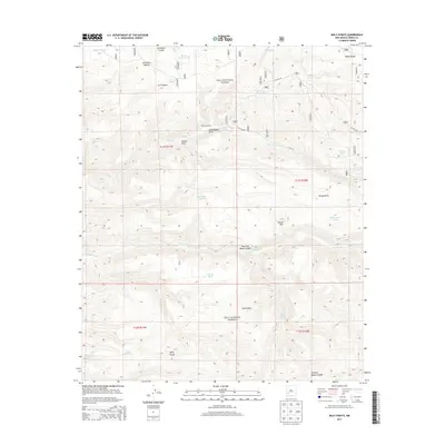
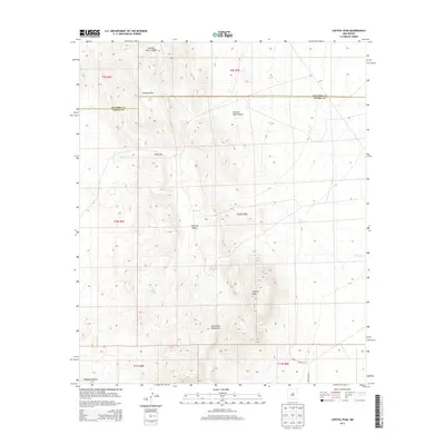
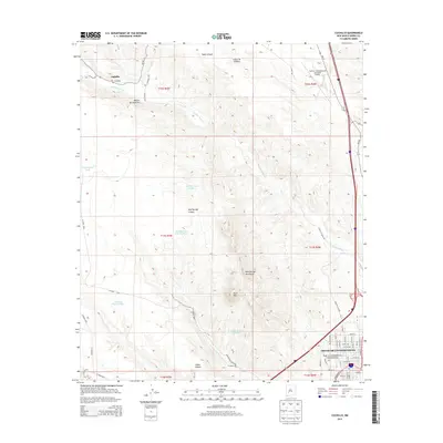
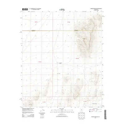
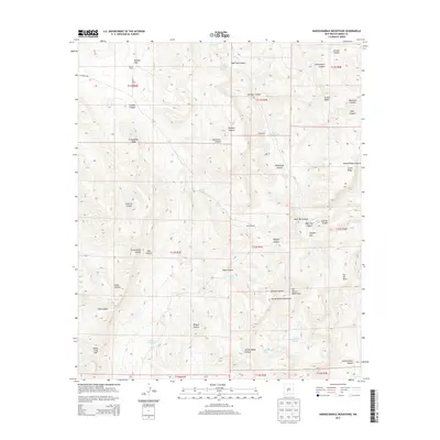
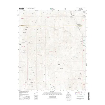
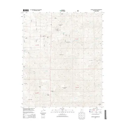
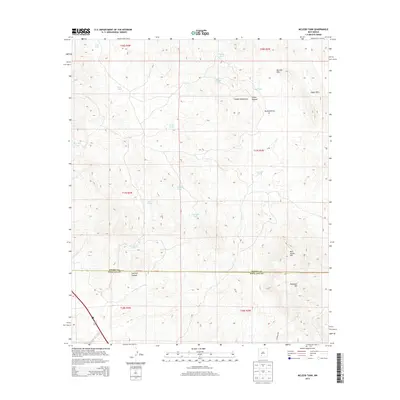
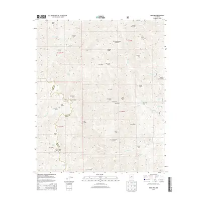
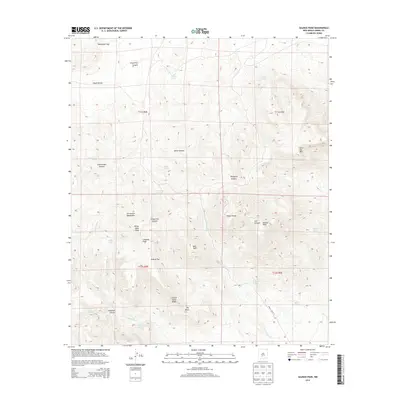
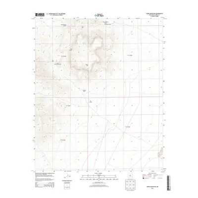
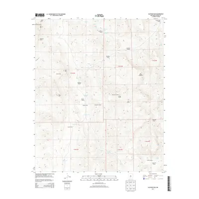
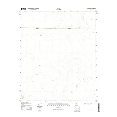
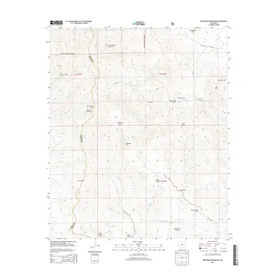
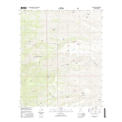
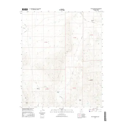
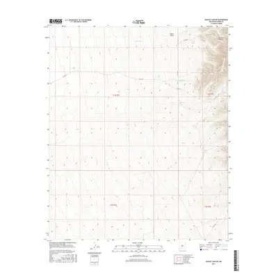
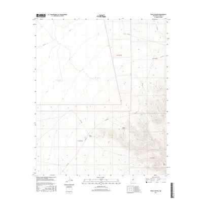
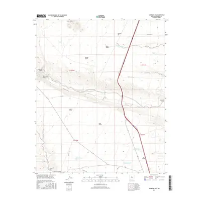
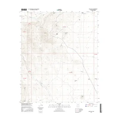
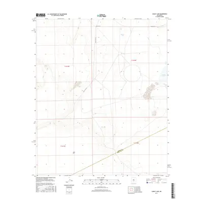
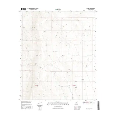
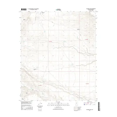
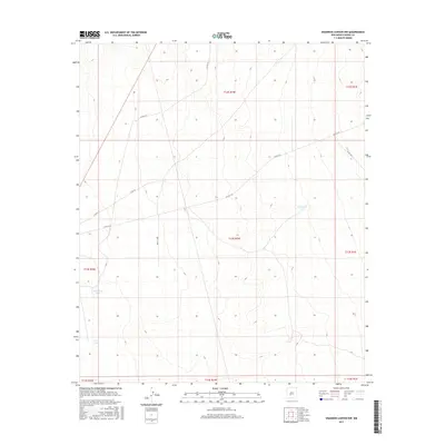
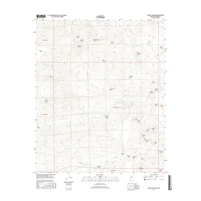
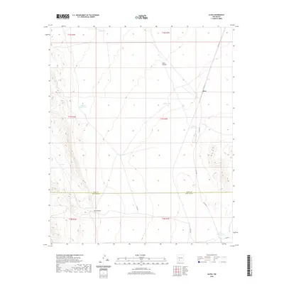
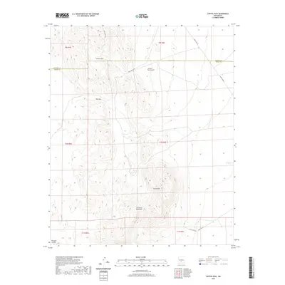
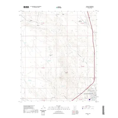
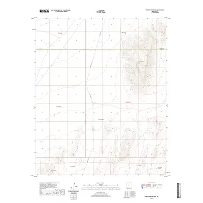
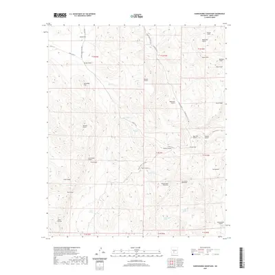
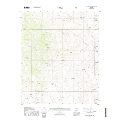
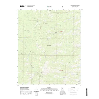
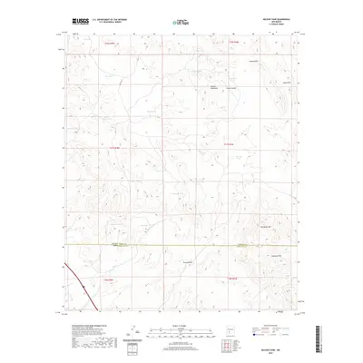
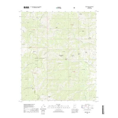
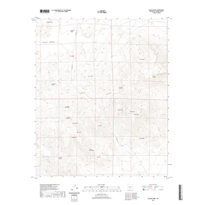
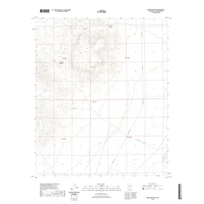
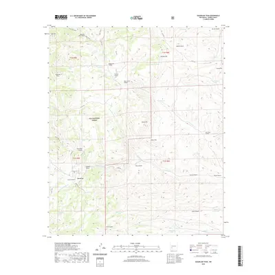
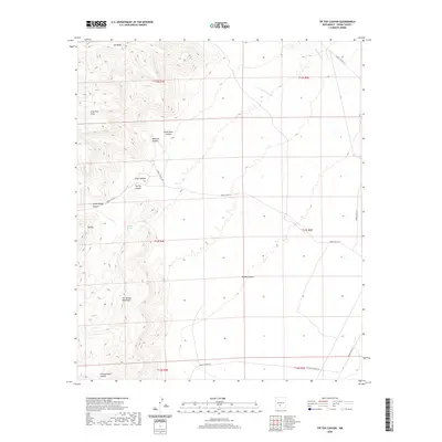
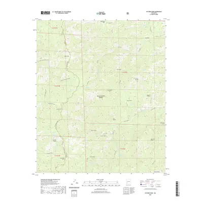
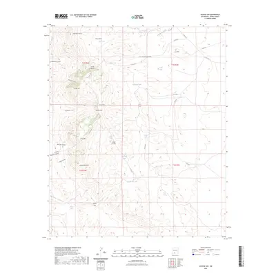
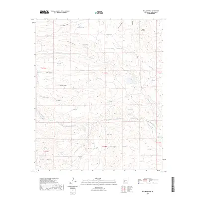
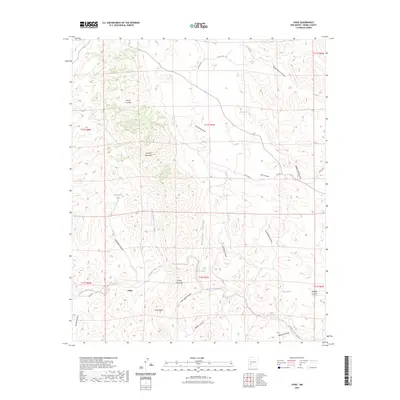
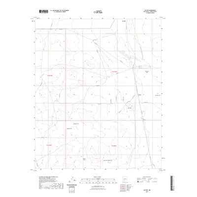
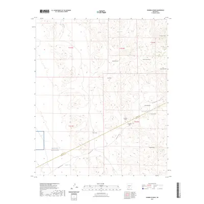
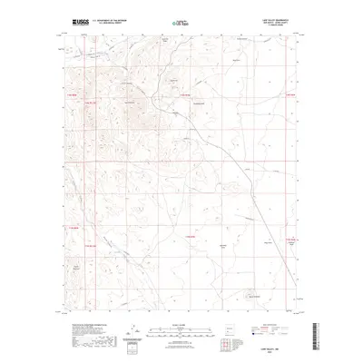
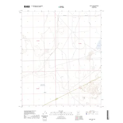
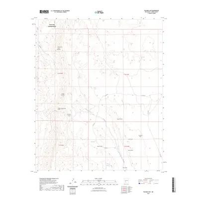
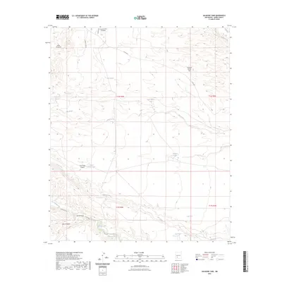
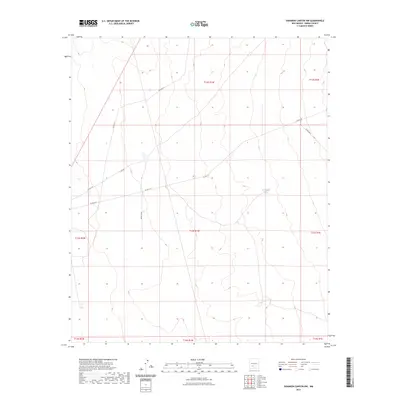
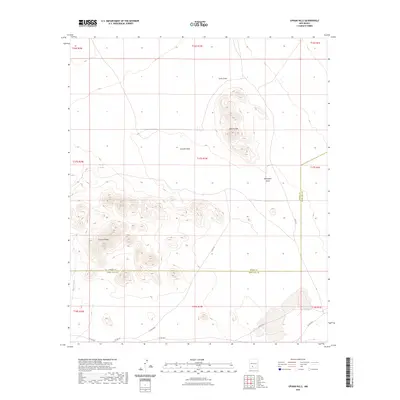
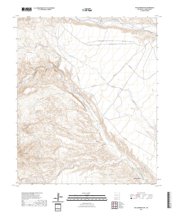
1962 Map of Lake Valley
USGS Topo · Published 1964About this map
Mimbres Mountains and the northern reaches of the Cooks Range dominate this Sierra County landscape, where the legacy of silver mining and high-desert ranching is clearly etched. Near the eastern edge, the legendary Bridal Chamber Mine and the Dude Mine reflect the district's industrial past, supported by an Old Railroad Grade that once connected these remote workings to broader markets. The survey captures a network of family-held operations, from the P Latham Ranch near Schoolhouse Mountain to the White Rock Ranch and Graham Ranch further south.
Find a feature on this map
82 named features on this map. Tap any name to fly to it.
Don’t see what you’re looking for? This feature index may not catch every label — zoom into the map to look around manually.
Map Details
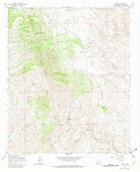
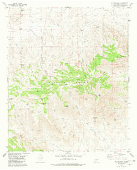
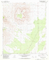
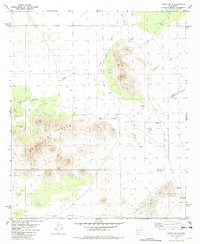
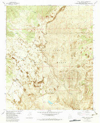
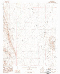
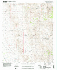
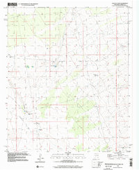
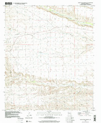
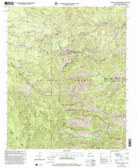
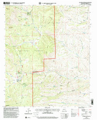
Editions of this 1962 Lake Valley Map
2 editions found
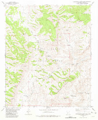
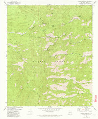
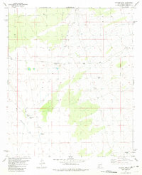
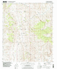
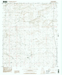
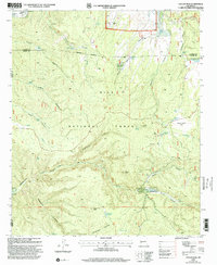
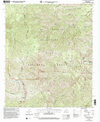
Historical Maps of Lake Valley Through Time
428 maps found

1916 Salinas Peak
Sierra County, NM

1947 Capitol Peak
Sierra County, NM
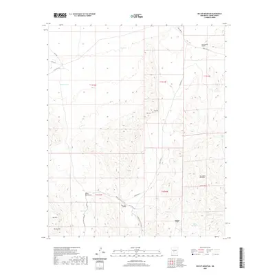
1948 Black Top Mountain
Sierra County, NM

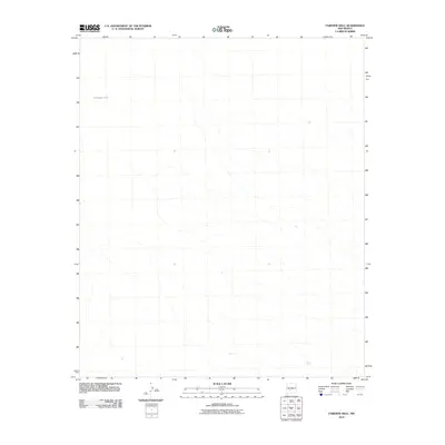
1948 Chicken Well
Sierra County, NM

1948 Lumley Lake
Sierra County, NM

1948 Malpais Well
Sierra County, NM
1948 Salinas Peak
Sierra County, NM
1948 Sowell
Sierra County, NM
1949 Lookout Mountain
Sierra County, NM
1958 Arroyo Cuervo
Sierra County, NM
1959 Engle
Sierra County, NM
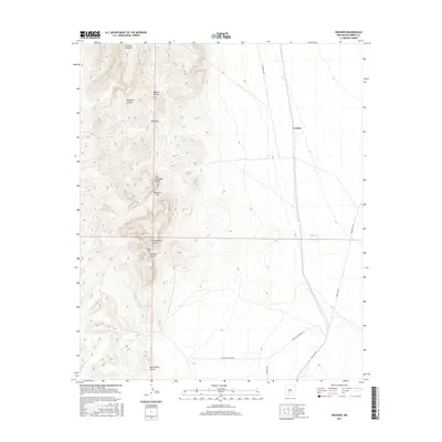
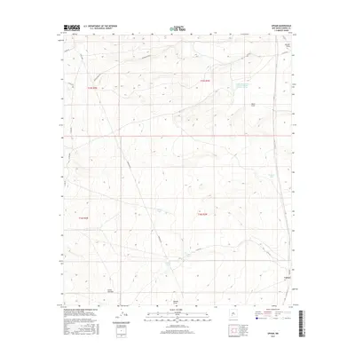
1959 Upham
Sierra County, NM
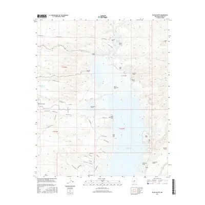
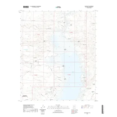
1961 Black Bluffs
Sierra County, NM
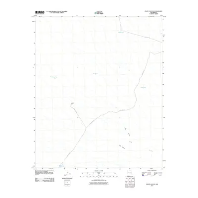
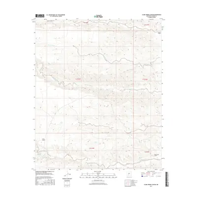
1961 Clark Spring Canyon
Sierra County, NM
1961 Crocker
Sierra County, NM

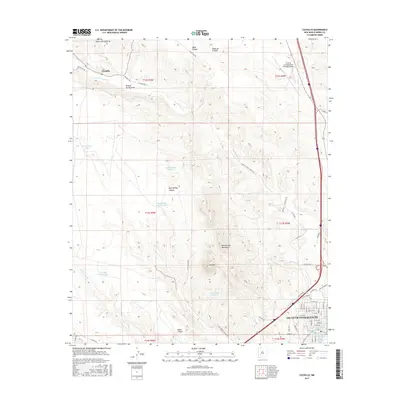
1961 Cuchillo
Sierra County, NM
1961 Huerfano Hill
Sierra County, NM
1961 Lava
Sierra County, NM
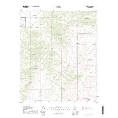
1961 Monticello
Sierra County, NM
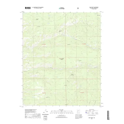
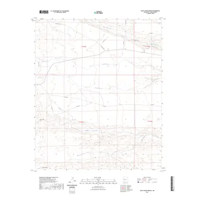
1961 Nutt
Sierra County, NM
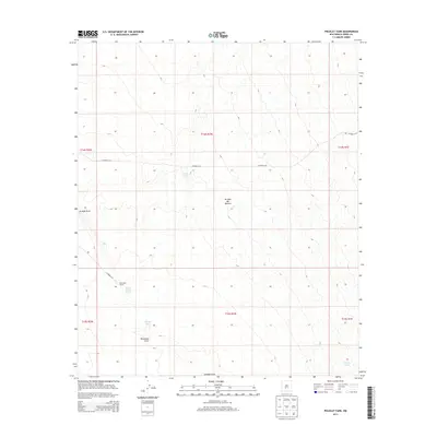
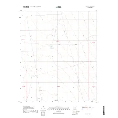
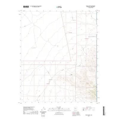
1961 Priest Tank
Sierra County, NM
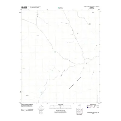
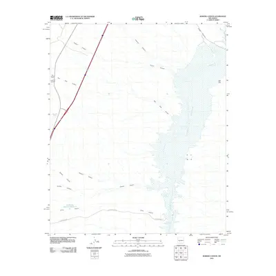
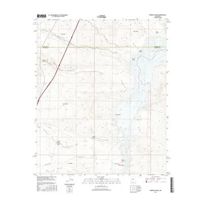
1961 Romero Canyon
Sierra County, NM
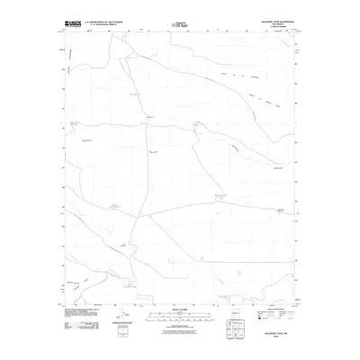
1961 Saladone Tank
Sierra County, NM
1961 Sierra Fijardo
Sierra County, NM

1961 Skute Stone Arroyo
Sierra County, NM
1961 Williamsburg NW
Sierra County, NM
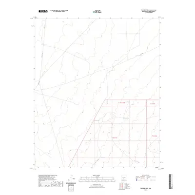
1962 Lake Valley
Sierra County, NM
1963 Apache Peak
Sierra County, NM

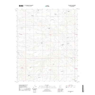
1963 Bell Mountain
Sierra County, NM
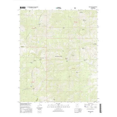
1963 Reeds Peak
Sierra County, NM
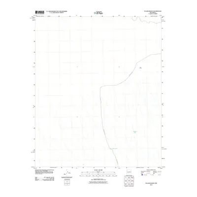
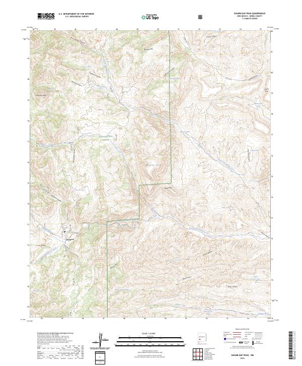
1963 Sugarloaf Peak
Sierra County, NM
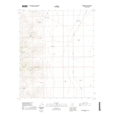
1963 Thumb Tank Peak
Sierra County, NM

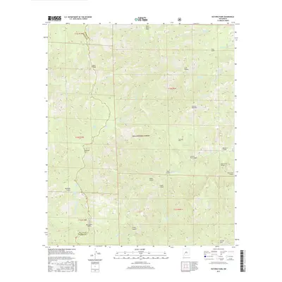
1963 Victoria Park
Sierra County, NM
1965 Chise
Sierra County, NM
1965 Iron Mountain
Sierra County, NM

1965 Jaralosa Mountain
Sierra County, NM
1981 Baily Points
Sierra County, NM

1981 Big Gyp Mountain
Sierra County, NM
1981 Capitol Peak
Sierra County, NM
1981 Dugout Canyon
Sierra County, NM

1981 Fairview Mountain
Sierra County, NM
1981 Fairview Well
Sierra County, NM
1981 Fence Canyon
Sierra County, NM
1981 Fuller Ranch
Sierra County, NM
1981 Hardscrabble Mountains
Sierra County, NM

1981 Hembrillo Basin
Sierra County, NM
1981 Lookout Mountain
Sierra County, NM
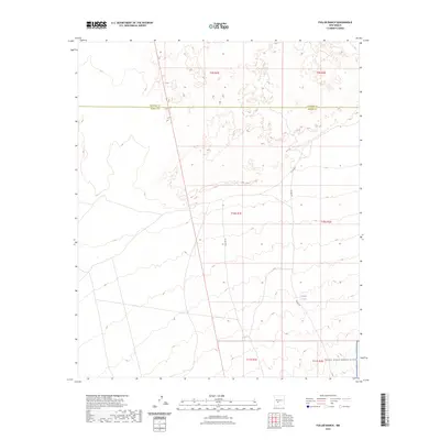
1981 Polecat Tank
Sierra County, NM
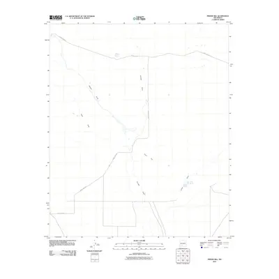
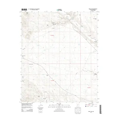
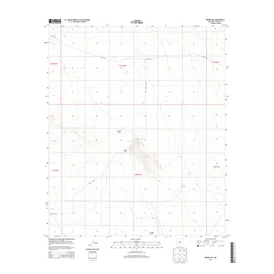
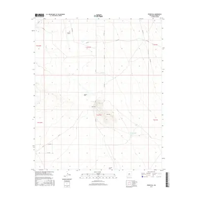
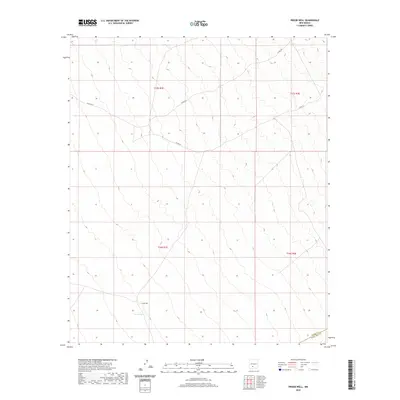
1981 Prisor Hill
Sierra County, NM

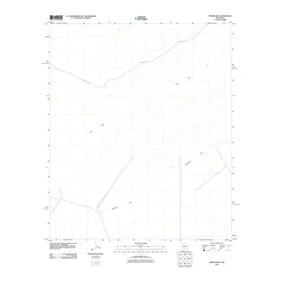
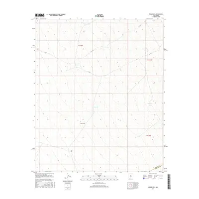
1981 Prisor Well
Sierra County, NM

1981 Salinas Peak NW
Sierra County, NM
1981 Salinas Peak
Sierra County, NM
1981 Sawmill Peak
Sierra County, NM
1981 Shannon Canyon NW
Sierra County, NM
1981 Shannon Canyon
Sierra County, NM
1981 Sheep Mountain
Sierra County, NM
1981 Strawberry Peak
Sierra County, NM
1981 Sulphur Pass
Sierra County, NM

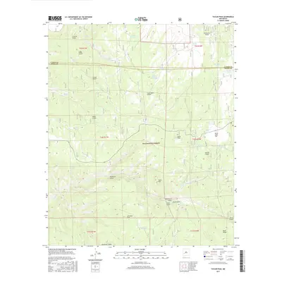
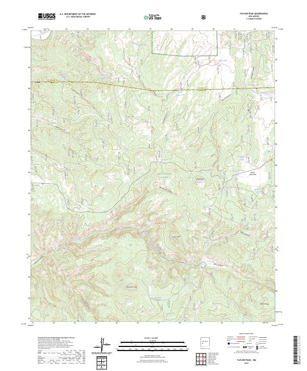
1981 Taylor Peak
Sierra County, NM
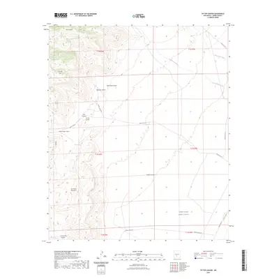
1981 Tip Top Canyon
Sierra County, NM
1981 Upham Hills
Sierra County, NM
1982 Lumley Lake NW
Sierra County, NM
1982 Lumley Lake
Sierra County, NM
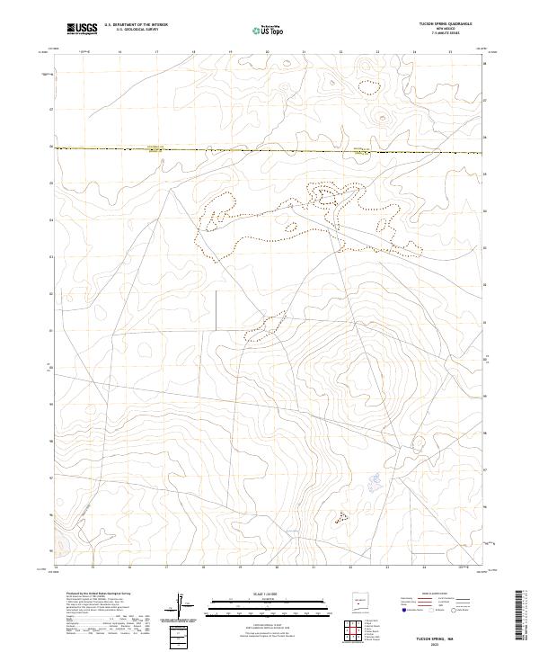
1982 Tucson Spring
Sierra County, NM
1985 Alivio
Sierra County, NM
1985 Apache Gap
Sierra County, NM
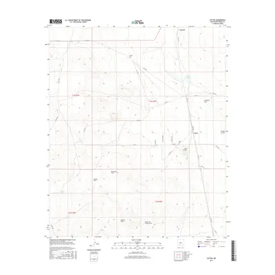
1985 Cutter
Sierra County, NM

1985 Engle
Sierra County, NM
1985 Mc Clede Mountain
Sierra County, NM
1985 McLeod Tank
Sierra County, NM

1985 Palomas Gap
Sierra County, NM
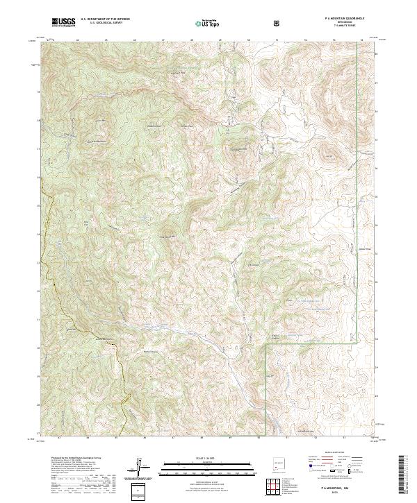
1985 P A Mountain
Sierra County, NM
1985 Upham
Sierra County, NM
1989 Apache Gap
Sierra County, NM
1989 Jug Canyon
Sierra County, NM

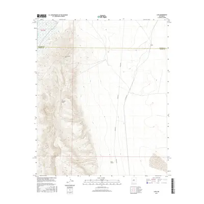
1989 Lake Valley
Sierra County, NM
1989 White Rock Mountain
Sierra County, NM

1995 Jaralosa Mountain
Sierra County, NM

1995 Monticello
Sierra County, NM

1995 Sierra Fijardo
Sierra County, NM

1996 Alivio
Sierra County, NM
1996 Apache Gap
Sierra County, NM
1996 Arroyo Cuervo
Sierra County, NM
1996 Crocker
Sierra County, NM
1996 Cutter
Sierra County, NM
1996 Dugout Canyon
Sierra County, NM

1996 Engle
Sierra County, NM
1996 Hardscrabble Mountains
Sierra County, NM
1996 Hembrillo Basin
Sierra County, NM
1996 Jug Canyon
Sierra County, NM

1996 Lake Valley
Sierra County, NM
1996 Mc Clede Mountain
Sierra County, NM
1996 McLeod Tank
Sierra County, NM

1996 Palomas Gap
Sierra County, NM
1996 Polecat Tank
Sierra County, NM
1996 Prisor Hill
Sierra County, NM

1996 Prisor Well
Sierra County, NM
1996 Shannon Canyon NW
Sierra County, NM
1996 Shannon Canyon
Sierra County, NM
1996 Skute Stone Arroyo
Sierra County, NM
1996 Sulphur Pass
Sierra County, NM

1996 Upham Hills
Sierra County, NM
1996 Upham
Sierra County, NM
1999 Baily Points
Sierra County, NM

1999 Iron Mountain
Sierra County, NM
1999 Lookout Mountain
Sierra County, NM
1999 P A Mountain
Sierra County, NM
1999 Reeds Peak
Sierra County, NM
1999 Sawmill Peak
Sierra County, NM
1999 Sugarloaf Peak
Sierra County, NM
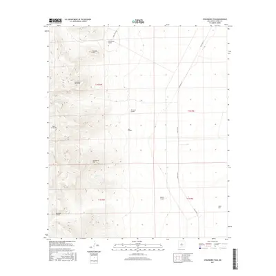
1999 Taylor Peak
Sierra County, NM
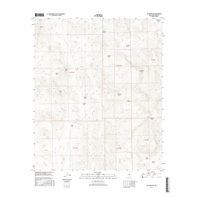
1999 Victorio Park
Sierra County, NM
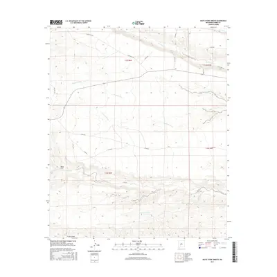
1999 White Rock Mountain
Sierra County, NM
2010 Alivio
Sierra County, NM
2010 Apache Gap
Sierra County, NM
2010 Arroyo Cuervo
Sierra County, NM
2010 Bell Mountain
Sierra County, NM
2010 Big Gyp Mountain
Sierra County, NM
2010 Black Bluffs
Sierra County, NM
2010 Capitol Peak
Sierra County, NM
2010 Chise
Sierra County, NM
2010 Clark Spring Canyon
Sierra County, NM
2010 Crocker
Sierra County, NM
2010 Cuchillo
Sierra County, NM
2010 Cutter
Sierra County, NM
2010 Dugout Canyon
Sierra County, NM
2010 Engle
Sierra County, NM
2010 Fairview Mountain
Sierra County, NM
2010 Fairview Well
Sierra County, NM
2010 Fence Canyon
Sierra County, NM
2010 Fuller Ranch
Sierra County, NM
2010 Hardscrabble Mountains
Sierra County, NM
2010 Hembrillo Basin
Sierra County, NM
2010 Huerfano Hill
Sierra County, NM
2010 Jug Canyon
Sierra County, NM
2010 Lake Valley
Sierra County, NM
2010 Lava
Sierra County, NM
2010 Lumley Lake NW
Sierra County, NM
2010 Lumley Lake
Sierra County, NM
2010 McClede Mountain
Sierra County, NM
2010 McLeod Tank
Sierra County, NM
2010 Palomas Gap
Sierra County, NM
2010 Polecat Tank
Sierra County, NM
2010 Priest Tank
Sierra County, NM
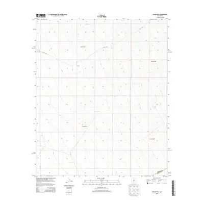
2010 Prisor Hill
Sierra County, NM
2010 Prisor Well
Sierra County, NM
2010 Romero Canyon
Sierra County, NM
2010 Saladone Tank
Sierra County, NM
2010 Salinas Peak NW
Sierra County, NM
2010 Salinas Peak
Sierra County, NM
2010 Shannon Canyon NW
Sierra County, NM
2010 Shannon Canyon
Sierra County, NM
2010 Sheep Mountain
Sierra County, NM
2010 Skute Stone Arroyo
Sierra County, NM
2010 Strawberry Peak
Sierra County, NM
2010 Sulphur Pass
Sierra County, NM
2010 Thumb Tank Peak
Sierra County, NM
2010 Tip Top Canyon
Sierra County, NM
2010 Tucson Spring
Sierra County, NM
2010 Upham Hills
Sierra County, NM
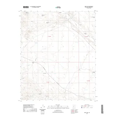
2010 Upham
Sierra County, NM
2010 Williamsburg NW
Sierra County, NM
2011 Apache Peak
Sierra County, NM
2011 Baily Points
Sierra County, NM
2011 Iron Mountain
Sierra County, NM
2011 Jaralosa Mountain
Sierra County, NM
2011 Lookout Mountain
Sierra County, NM
2011 Monticello
Sierra County, NM
2011 P A Mountain
Sierra County, NM
2011 Reeds Peak
Sierra County, NM
2011 Sawmill Peak
Sierra County, NM
2011 Sierra Fijardo
Sierra County, NM
2011 Sugarloaf Peak
Sierra County, NM
2011 Taylor Peak
Sierra County, NM
2011 Victorio Park
Sierra County, NM
2011 Whiterock Mountain
Sierra County, NM
2013 Alivio
Sierra County, NM
2013 Apache Gap
Sierra County, NM
2013 Apache Peak
Sierra County, NM
2013 Arroyo Cuervo
Sierra County, NM
2013 Baily Points
Sierra County, NM
2013 Bell Mountain
Sierra County, NM
2013 Big Gyp Mountain
Sierra County, NM
2013 Black Bluffs
Sierra County, NM
2013 Capitol Peak
Sierra County, NM
2013 Chise
Sierra County, NM
2013 Clark Spring Canyon
Sierra County, NM
2013 Crocker
Sierra County, NM
2013 Cuchillo
Sierra County, NM
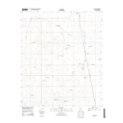
2013 Cutter
Sierra County, NM
2013 Dugout Canyon
Sierra County, NM
2013 Engle
Sierra County, NM
2013 Fairview Mountain
Sierra County, NM
2013 Fairview Well
Sierra County, NM
2013 Fence Canyon
Sierra County, NM
2013 Fuller Ranch
Sierra County, NM
2013 Hardscrabble Mountains
Sierra County, NM
2013 Hembrillo Basin
Sierra County, NM
2013 Huerfano Hill
Sierra County, NM
2013 Iron Mountain
Sierra County, NM
2013 Jaralosa Mountain
Sierra County, NM
2013 Jug Canyon
Sierra County, NM
2013 Lake Valley
Sierra County, NM
2013 Lava
Sierra County, NM
2013 Lookout Mountain
Sierra County, NM
2013 Lumley Lake NW
Sierra County, NM
2013 Lumley Lake
Sierra County, NM
2013 McClede Mountain
Sierra County, NM
2013 McLeod Tank
Sierra County, NM
2013 Monticello
Sierra County, NM
2013 Palomas Gap
Sierra County, NM
2013 P A Mountain
Sierra County, NM
2013 Polecat Tank
Sierra County, NM
2013 Priest Tank
Sierra County, NM
2013 Prisor Hill
Sierra County, NM
2013 Prisor Well
Sierra County, NM
2013 Reeds Peak
Sierra County, NM
2013 Romero Canyon
Sierra County, NM
2013 Saladone Tank
Sierra County, NM
2013 Salinas Peak NW
Sierra County, NM
2013 Salinas Peak
Sierra County, NM
2013 Sawmill Peak
Sierra County, NM
2013 Shannon Canyon NW
Sierra County, NM
2013 Shannon Canyon
Sierra County, NM
2013 Sheep Mountain
Sierra County, NM
2013 Sierra Fijardo
Sierra County, NM

2013 Skute Stone Arroyo
Sierra County, NM
2013 Strawberry Peak
Sierra County, NM
2013 Sugarloaf Peak
Sierra County, NM
2013 Sulphur Pass
Sierra County, NM
2013 Taylor Peak
Sierra County, NM
2013 Thumb Tank Peak
Sierra County, NM
2013 Tip Top Canyon
Sierra County, NM
2013 Tucson Spring
Sierra County, NM
2013 Upham Hills
Sierra County, NM
2013 Upham
Sierra County, NM
2013 Victorio Park
Sierra County, NM
2013 Whiterock Mountain
Sierra County, NM
2013 Williamsburg NW
Sierra County, NM
2017 Alivio
Sierra County, NM
2017 Apache Gap
Sierra County, NM
2017 Apache Peak
Sierra County, NM
2017 Arroyo Cuervo
Sierra County, NM
2017 Baily Points
Sierra County, NM
2017 Bell Mountain
Sierra County, NM
2017 Big Gyp Mountain
Sierra County, NM
2017 Black Bluffs
Sierra County, NM
2017 Capitol Peak
Sierra County, NM
2017 Chise
Sierra County, NM
2017 Clark Spring Canyon
Sierra County, NM
2017 Crocker
Sierra County, NM
2017 Cuchillo
Sierra County, NM
2017 Cutter
Sierra County, NM
2017 Dugout Canyon
Sierra County, NM
2017 Engle
Sierra County, NM
2017 Fairview Mountain
Sierra County, NM
2017 Fairview Well
Sierra County, NM
2017 Fence Canyon
Sierra County, NM
2017 Fuller Ranch
Sierra County, NM
2017 Hardscrabble Mountains
Sierra County, NM
2017 Hembrillo Basin
Sierra County, NM
2017 Huerfano Hill
Sierra County, NM
2017 Iron Mountain
Sierra County, NM
2017 Jaralosa Mountain
Sierra County, NM
2017 Jug Canyon
Sierra County, NM
2017 Lake Valley
Sierra County, NM
2017 Lava
Sierra County, NM
2017 Lookout Mountain
Sierra County, NM
2017 Lumley Lake NW
Sierra County, NM
2017 Lumley Lake
Sierra County, NM
2017 McClede Mountain
Sierra County, NM
2017 McLeod Tank
Sierra County, NM
2017 Monticello
Sierra County, NM
2017 Palomas Gap
Sierra County, NM
2017 P A Mountain
Sierra County, NM
2017 Polecat Tank
Sierra County, NM
2017 Priest Tank
Sierra County, NM
2017 Prisor Hill
Sierra County, NM
2017 Prisor Well
Sierra County, NM
2017 Reeds Peak
Sierra County, NM
2017 Romero Canyon
Sierra County, NM
2017 Saladone Tank
Sierra County, NM
2017 Salinas Peak NW
Sierra County, NM
2017 Salinas Peak
Sierra County, NM
2017 Sawmill Peak
Sierra County, NM
2017 Shannon Canyon NW
Sierra County, NM
2017 Shannon Canyon
Sierra County, NM
2017 Sheep Mountain
Sierra County, NM
2017 Sierra Fijardo
Sierra County, NM
2017 Skute Stone Arroyo
Sierra County, NM
2017 Strawberry Peak
Sierra County, NM

2017 Sugarloaf Peak
Sierra County, NM
2017 Sulphur Pass
Sierra County, NM
2017 Taylor Peak
Sierra County, NM
2017 Thumb Tank Peak
Sierra County, NM
2017 Tip Top Canyon
Sierra County, NM
2017 Tucson Spring
Sierra County, NM
2017 Upham Hills
Sierra County, NM
2017 Upham
Sierra County, NM
2017 Victorio Park
Sierra County, NM
2017 Whiterock Mountain
Sierra County, NM
2017 Williamsburg NW
Sierra County, NM
2020 Alivio
Sierra County, NM
2020 Apache Gap
Sierra County, NM
2020 Apache Peak
Sierra County, NM
2020 Arroyo Cuervo
Sierra County, NM
2020 Baily Points
Sierra County, NM
2020 Bell Mountain
Sierra County, NM
2020 Big Gyp Mountain
Sierra County, NM
2020 Black Bluffs
Sierra County, NM
2020 Capitol Peak
Sierra County, NM
2020 Chise
Sierra County, NM
2020 Clark Spring Canyon
Sierra County, NM
2020 Crocker
Sierra County, NM
2020 Cuchillo
Sierra County, NM
2020 Cutter
Sierra County, NM
2020 Dugout Canyon
Sierra County, NM
2020 Engle
Sierra County, NM
2020 Fairview Mountain
Sierra County, NM
2020 Fairview Well
Sierra County, NM
2020 Fence Canyon
Sierra County, NM
2020 Fuller Ranch
Sierra County, NM
2020 Hardscrabble Mountains
Sierra County, NM
2020 Hembrillo Basin
Sierra County, NM
2020 Huerfano Hill
Sierra County, NM
2020 Iron Mountain
Sierra County, NM
2020 Jaralosa Mountain
Sierra County, NM
2020 Jug Canyon
Sierra County, NM
2020 Lake Valley
Sierra County, NM
2020 Lava
Sierra County, NM
2020 Lookout Mountain
Sierra County, NM
2020 Lumley Lake NW
Sierra County, NM
2020 Lumley Lake
Sierra County, NM
2020 McClede Mountain
Sierra County, NM
2020 McLeod Tank
Sierra County, NM
2020 Monticello
Sierra County, NM
2020 Palomas Gap
Sierra County, NM
2020 P A Mountain
Sierra County, NM
2020 Polecat Tank
Sierra County, NM
2020 Priest Tank
Sierra County, NM
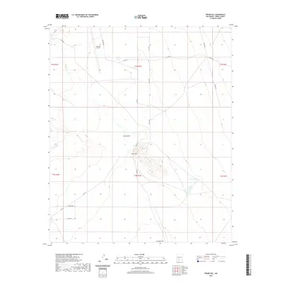
2020 Prisor Hill
Sierra County, NM
2020 Prisor Well
Sierra County, NM
2020 Reeds Peak
Sierra County, NM
2020 Romero Canyon
Sierra County, NM
2020 Saladone Tank
Sierra County, NM
2020 Salinas Peak NW
Sierra County, NM
2020 Salinas Peak
Sierra County, NM
2020 Sawmill Peak
Sierra County, NM
2020 Shannon Canyon NW
Sierra County, NM
2020 Shannon Canyon
Sierra County, NM
2020 Sheep Mountain
Sierra County, NM
2020 Sierra Fijardo
Sierra County, NM
2020 Skute Stone Arroyo
Sierra County, NM
2020 Strawberry Peak
Sierra County, NM
2020 Sugarloaf Peak
Sierra County, NM
2020 Sulphur Pass
Sierra County, NM
2020 Taylor Peak
Sierra County, NM
2020 Thumb Tank Peak
Sierra County, NM
2020 Tip Top Canyon
Sierra County, NM
2020 Tucson Spring
Sierra County, NM
2020 Upham Hills
Sierra County, NM
2020 Upham
Sierra County, NM
2020 Victorio Park
Sierra County, NM
2020 Whiterock Mountain
Sierra County, NM
2020 Williamsburg NW
Sierra County, NM
2023 Alivio
Sierra County, NM
2023 Apache Gap
Sierra County, NM
2023 Apache Peak
Sierra County, NM
2023 Arroyo Cuervo
Sierra County, NM
2023 Baily Points
Sierra County, NM
2023 Bell Mountain
Sierra County, NM
2023 Big Gyp Mountain
Sierra County, NM
2023 Black Bluffs
Sierra County, NM
2023 Capitol Peak
Sierra County, NM
2023 Chise
Sierra County, NM
2023 Clark Spring Canyon
Sierra County, NM
2023 Crocker
Sierra County, NM
2023 Cuchillo
Sierra County, NM
2023 Cutter
Sierra County, NM
2023 Dugout Canyon
Sierra County, NM
2023 Engle
Sierra County, NM
2023 Fairview Mountain
Sierra County, NM
2023 Fairview Well
Sierra County, NM
2023 Fence Canyon
Sierra County, NM
2023 Fuller Ranch
Sierra County, NM
2023 Hardscrabble Mountains
Sierra County, NM
2023 Hembrillo Basin
Sierra County, NM

2023 Huerfano Hill
Sierra County, NM
2023 Iron Mountain
Sierra County, NM
2023 Jaralosa Mountain
Sierra County, NM
2023 Jug Canyon
Sierra County, NM
2023 Lake Valley
Sierra County, NM
2023 Lava
Sierra County, NM
2023 Lookout Mountain
Sierra County, NM
2023 Lumley Lake NW
Sierra County, NM
2023 Lumley Lake
Sierra County, NM
2023 McClede Mountain
Sierra County, NM
2023 McLeod Tank
Sierra County, NM
2023 Monticello
Sierra County, NM
2023 Palomas Gap
Sierra County, NM
2023 P A Mountain
Sierra County, NM
2023 Polecat Tank
Sierra County, NM
2023 Priest Tank
Sierra County, NM
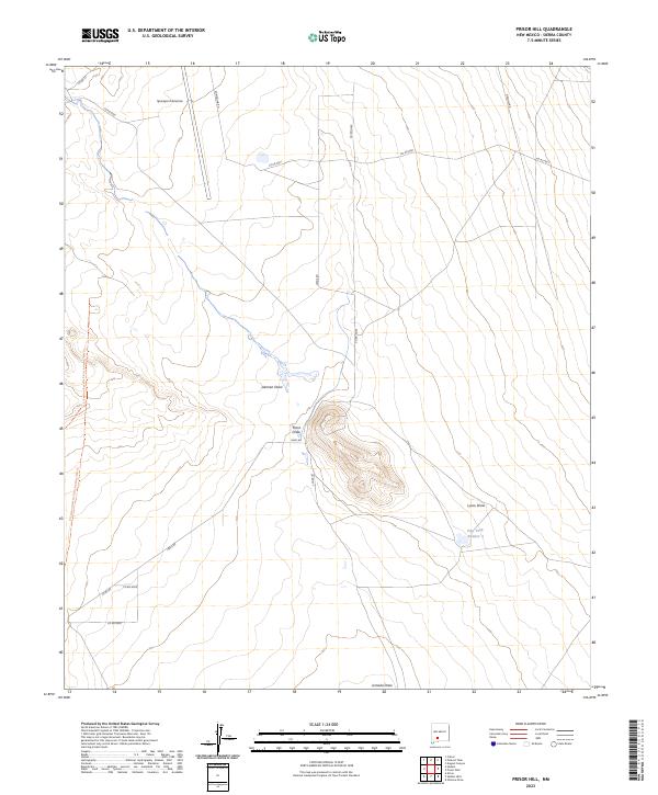
2023 Prisor Hill
Sierra County, NM
2023 Prisor Well
Sierra County, NM
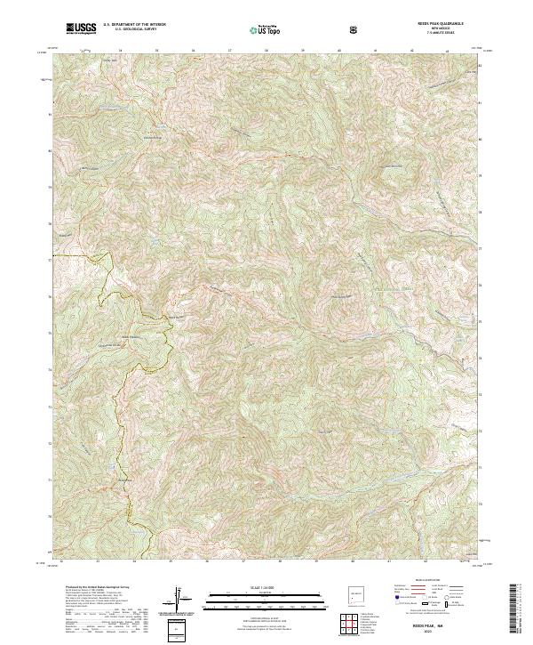
2023 Reeds Peak
Sierra County, NM
2023 Romero Canyon
Sierra County, NM
2023 Saladone Tank
Sierra County, NM
2023 Salinas Peak NW
Sierra County, NM
2023 Salinas Peak
Sierra County, NM
2023 Sawmill Peak
Sierra County, NM
2023 Shannon Canyon NW
Sierra County, NM
2023 Shannon Canyon
Sierra County, NM
2023 Sheep Mountain
Sierra County, NM
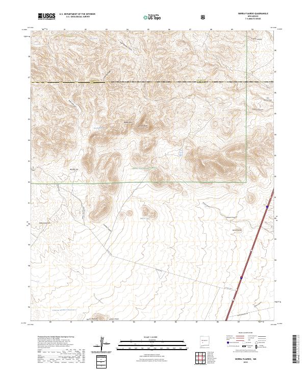
2023 Sierra Fijardo
Sierra County, NM
2023 Skute Stone Arroyo
Sierra County, NM
2023 Strawberry Peak
Sierra County, NM
2023 Sugarloaf Peak
Sierra County, NM
2023 Sulphur Pass
Sierra County, NM
2023 Taylor Peak
Sierra County, NM
2023 Thumb Tank Peak
Sierra County, NM
2023 Tip Top Canyon
Sierra County, NM
2023 Tucson Spring
Sierra County, NM
2023 Upham Hills
Sierra County, NM
2023 Upham
Sierra County, NM
2023 Victorio Park
Sierra County, NM
2023 Whiterock Mountain
Sierra County, NM
2023 Williamsburg NW
Sierra County, NM