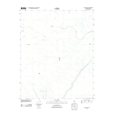
2012 Map of Cache Peak
USGS Topo · Published 2012About this map
The Second Los Angeles Aqueduct and the original Los Angeles Aqueduct cut through this high-desert terrain of eastern Kern County, illustrating the vital infrastructure required to move water across the California landscape. This 2012 survey highlights the varied topography of the southern Sierra Nevada foothills, anchored by prominent elevations like Cache Peak and Middle Knob.
Find a feature on this map
29 named features on this map. Tap any name to fly to it.
Don’t see what you’re looking for? This feature index may not catch every label — zoom into the map to look around manually.
Map Details
Editions of this 2012 Cache Peak Map
This is the sole edition of this map. No revisions or reprints were ever made.
Other maps of this area

1915 · Mojave
USGS Topo · 1:125,000

1943 · Tehachapi
USGS Topo · 1:62,500

1943 · Cross Mountain
USGS Topo · 1:62,500

1943 · Emerald Mtn
USGS Topo · 1:62,500

1943 · Mojave
USGS Topo · 1:62,500

1947 · Plano
USGS Topo · 1:24,000

1947 · Mojave
USGS Topo · 1:24,000

1948 · Bakersfield
USGS Topo · 1:250,000

1955 · Bakersfield
USGS Topo · 1:250,000

1956 · Bakersfield
USGS Topo · 1:250,000