
1947 Map of Plano
USGS Topo · Published 1947About this map
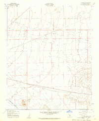
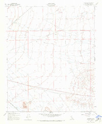
Kern County's high-desert landscape appears here in a transition period following World War II, when military surveillance techniques were first being adapted for civil cartography. The terrain is defined by the Eighth Standard Parallel South, a critical surveying baseline that anchors the region's land subdivision. Infrastructure is dominated by the heavy presence of two major western transit corridors, the Southern Pacific and the Atchison Topeka and Santa Fe railroads, which parallel each other through the arid expanse. Resource extraction is represented by the Lucky Dog Mine, providing a specific point of interest for mining historians or researchers tracing early 20th-century prospecting sites in the Mojave's northwestern reaches.
Find a feature on this map
4 named features on this map. Tap any name to fly to it.
Don’t see what you’re looking for? This feature index may not catch every label — zoom into the map to look around manually.
Map Details
Editions of this 1947 Plano Map
3 editions found
Other maps of this area

1915 · Elizabeth Lake
USGS Topo · 1:125,000

1915 · Searles Lake
USGS Topo · 1:250,000

1915 · Mojave
USGS Topo · 1:125,000

1917 · Elizabeth Lake
USGS Topo · 1:125,000

1937 · Rogers Lake
USGS Topo · 1:48,000

1942 · Rogers Lake
USGS Topo · 1:62,500

1943 · Rosamond
USGS Topo · 1:62,500

1943 · Castle Butte
USGS Topo · 1:62,500

1943 · Mojave
USGS Topo · 1:62,500

1947 · Fluhr
USGS Topo · 1:24,000