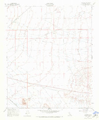
1947 Map of Sanborn
USGS Topo · Published 1971About this map
Freemont Valley stretches across this landscape, defined in the late 1940s by a vital intersection of transcontinental rail lines. The Southern Pacific tracks cut diagonally through the north, while the Atchison Topeka and Santa Fe runs through the south near the small rail stop of Sanborn. This intersection of major Western railroads highlight the area's importance as a transportation corridor during the post-war era.
Find a feature on this map
9 named features on this map. Tap any name to fly to it.
Don’t see what you’re looking for? This feature index may not catch every label — zoom into the map to look around manually.
Map Details
Editions of this 1947 Sanborn Map
3 editions found

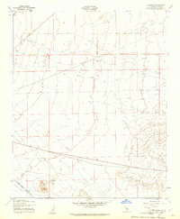
Other maps of this area

1915 · Elizabeth Lake
USGS Topo · 1:125,000

1915 · Searles Lake
USGS Topo · 1:250,000

1915 · Mojave
USGS Topo · 1:125,000

1917 · Elizabeth Lake
USGS Topo · 1:125,000

1937 · Rogers Lake
USGS Topo · 1:48,000

1942 · Rogers Lake
USGS Topo · 1:62,500

1943 · Rosamond
USGS Topo · 1:62,500

1943 · Castle Butte
USGS Topo · 1:62,500

1943 · Mojave
USGS Topo · 1:62,500

1947 · Fluhr
USGS Topo · 1:24,000