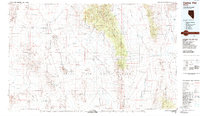
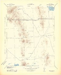
1988 Map of Cactus Flat
USGS Topo · Published 1989About this map
The Nellis Air Force Range dominates this late-twentieth-century landscape, a restricted military expanse that preserved vast tracts of the Nevada desert from modern development. Within this high-desert environment, the map documents the remnant footprints of early mining activities and scattered settlements like Silverbow, Jamestown, and Mellan. These locations, along with named mining sites such as Golden Arrow and Gold Crater, reflect the region's historical reliance on mineral extraction across the Cactus Range and Kawich Range.
Find a feature on this map
55 named features on this map. Tap any name to fly to it.
Don’t see what you’re looking for? This feature index may not catch every label — zoom into the map to look around manually.
Map Details
Editions of this 1988 Cactus Flat Map
This is the sole edition of this map. No revisions or reprints were ever made.
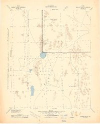
Other maps of this area

1907 · Tonopah
USGS Topo · 1:250,000

1908 · Kawich
USGS Topo · 1:250,000

1908 · Lida
USGS Topo · 1:250,000

1908 · Tonopah
USGS Topo · 1:250,000

1913 · Lida
USGS Topo · 1:250,000
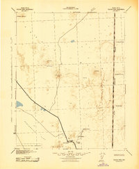
1942 · Emigrant Valley
USGS Topo · 1:125,000
1942 · Tolicha Peak
USGS Topo · 1:125,000
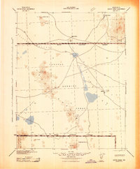
1942 · Cactus Range
USGS Topo · 1:125,000
1942 · Reveille Peak
USGS Topo · 1:125,000
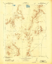
1942 · Wheelbarrow Peak
USGS Topo · 1:125,000