2011 Map of Caine Springs
USGS Topo · Published 2011About this map
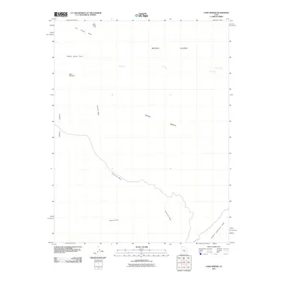
Caine Springs serves as a vital water source in this arid region of Emery County, where the landscape is defined by massive topographic features and seasonal drainage systems. The terrain transitions from the high elevations of Black Mountain and the Moroni Slopes down toward the flat expanse of Wood Bench. This environment is characterized by a complex network of dry washes, including Last Chance Wash and Caineville Wash, which serve as the primary conduits for rare desert rainfall. The presence of the North Cainville Reef in the southeastern corner highlights the significant geologic tilting and erosion typical of the San Rafael Swell area. Large-scale features like the Middle Desert and Hartnet Draw dominate the southern portion of the sheet, illustrating the expansive, uninhabited nature of this public land at the start of the 21st century.
Find a feature on this map
13 named features on this map. Tap any name to fly to it.
Don’t see what you’re looking for? This feature index may not catch every label — zoom into the map to look around manually.
Map Details
Editions of this 2011 Caine Springs Map
This is the sole edition of this map. No revisions or reprints were ever made.
Other maps of this area

1885 · San Rafael
USGS Topo · 1:250,000

1885 · Fish Lake
USGS Topo · 1:250,000

1896 · Fish Lake
USGS Topo · 1:250,000

1952 · Notom 1 SW
USGS Topo · 1:24,000

1952 · Wild Horse
USGS Topo · 1:62,500

1953 · Emery 4 SE
USGS Topo · 1:24,000

1954 · Stinking Spring Creek 3 SW
USGS Topo · 1:24,000

1954 · Mt. Ellen 2 SW
USGS Topo · 1:24,000

1954 · Mt. Ellen 2 NW
USGS Topo · 1:24,000

1954 · Notom 1 NE
USGS Topo · 1:24,000