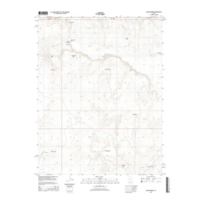
2014 Map of Caine Springs
USGS Topo · Published 2014About this map
Caine Springs and Willow Seep serve as rare watering points in this arid landscape along the border of Wayne County. The drainage network is dominated by the sprawling Salt Wash, which is joined by tributaries including Last Chance Wash, Middle Desert Wash, and Caineville Wash. These seasonal waterways carve through a complex topography of mesas and ridges, most notably the high ground of Black Mtn and the striking geologic formation of N Caineville Reef.
Find a feature on this map
20 named features on this map. Tap any name to fly to it.
Don’t see what you’re looking for? This feature index may not catch every label — zoom into the map to look around manually.
Map Details
Editions of this 2014 Caine Springs Map
This is the sole edition of this map. No revisions or reprints were ever made.
Other maps of this area

1885 · San Rafael
USGS Topo · 1:250,000

1885 · Fish Lake
USGS Topo · 1:250,000

1896 · Fish Lake
USGS Topo · 1:250,000

1952 · Notom 1 SW
USGS Topo · 1:24,000

1952 · Wild Horse
USGS Topo · 1:62,500

1953 · Emery 4 SE
USGS Topo · 1:24,000

1954 · Stinking Spring Creek 3 SW
USGS Topo · 1:24,000

1954 · Mt. Ellen 2 SW
USGS Topo · 1:24,000

1954 · Mt. Ellen 2 NW
USGS Topo · 1:24,000

1954 · Notom 1 NE
USGS Topo · 1:24,000