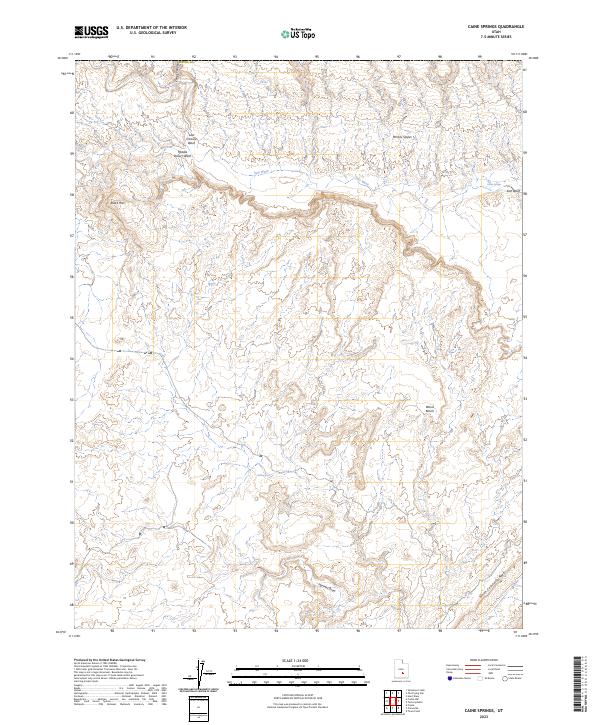
2023 Map of Caine Springs
USGS Topo · Published 2023About this map
Salt Wash and its many tributaries carve through this arid landscape in Wayne County, Utah, revealing a complex network of seasonal drainages and topographic landmarks. The map illustrates a region defined by distinct geological formations, ranging from the high point of Black Mtn to the steady incline of the Moroni Slopes. This area, situated just north of the North Caineville Reef, relies on sparse water sources such as Caine Springs and Willow Seep, which have long been critical landmarks in this high-desert environment. The layout of Wood Bench and the deep cuts of Hartnet Draw suggest a terrain where travel was dictated by the narrow passages between mesas and the unpredictable flow of desert washes like Last Chance Wash and Middle Desert Wash.
Find a feature on this map
12 named features on this map. Tap any name to fly to it.
Don’t see what you’re looking for? This feature index may not catch every label — zoom into the map to look around manually.
Map Details
Editions of this 2023 Caine Springs Map
This is the sole edition of this map. No revisions or reprints were ever made.
Other maps of this area

1885 · San Rafael
USGS Topo · 1:250,000

1885 · Fish Lake
USGS Topo · 1:250,000

1896 · Fish Lake
USGS Topo · 1:250,000

1952 · Notom 1 SW
USGS Topo · 1:24,000

1952 · Wild Horse
USGS Topo · 1:62,500

1953 · Emery 4 SE
USGS Topo · 1:24,000

1954 · Stinking Spring Creek 3 SW
USGS Topo · 1:24,000

1954 · Mt. Ellen 2 SW
USGS Topo · 1:24,000

1954 · Mt. Ellen 2 NW
USGS Topo · 1:24,000

1954 · Notom 1 NE
USGS Topo · 1:24,000