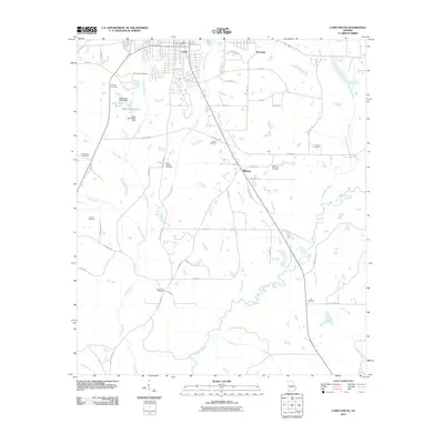
2011 Map of Cairo South
USGS Topo · Published 2011About this map
Cairo and its southern agricultural hinterlands are defined by the winding course of the Ochlockonee River and a dense concentration of family and community burial grounds. This 2011 survey reveals a landscape where modern infrastructure like Industrial Park Dr meets long-established rural landmarks. The drainage network is particularly intricate here, with Little Tired Creek, Parkers Mill Creek, and Grey Branch carving through the terrain to join the main river channel. Notable water management features include the Lake Wight North Dam and Wight Lake South Dam, which created localized reservoirs in the northwest. Numerous small settlements and crossroads such as Midway and Brownlee are connected by a web of local routes like Hadley Ferry Rd and Midway Rd, indicating a settlement pattern rooted in small-scale farming and timber interests.
Find a feature on this map
58 named features on this map. Tap any name to fly to it.
Don’t see what you’re looking for? This feature index may not catch every label — zoom into the map to look around manually.
Map Details
Editions of this 2011 Cairo South Map
This is the sole edition of this map. No revisions or reprints were ever made.
Other maps of this area

1954 · Tallahassee
USGS Topo · 1:250,000

1955 · Whigham
USGS Topo · 1:62,500

1956 · Cairo
USGS Topo · 1:62,500

1956 · Calvary
USGS Topo · 1:24,000

1957 · Beachton
USGS Topo · 1:24,000

1957 · Miccosukee NE
USGS Topo · 1:24,000

1959 · Tallahassee
USGS Topo · 1:250,000

1960 · Tallahassee
USGS Topo · 1:250,000
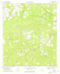
1974 · Pine Park
USGS Topo · 1:24,000
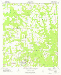
1974 · Whigham
USGS Topo · 1:24,000