
1956 Map of Calvary
USGS Topo · Published 1957About this map
Calvary stands at the center of this 1950s survey of the borderlands between Georgia and Florida, an area defined by the meandering Ochlockonee River and the northern tip of Lake Iamonia. The landscape is a network of rural crossroads and community landmarks, with several family and church-affiliated burial grounds like Pedemont Cem and Higdon Cem scattered throughout the Grady County countryside. Education and faith were central to local life, evidenced by St Johns Ch near Concord and the Beck Branch Sch further north. The map documents a shifting social geography, specifically noting the Bell Sch (Abandoned), while the Tallahassee Meridian marks a critical surveying baseline through the Leon County and Gadsden County lines. Drainage patterns are dominated by Bryants Mill Creek and St Marys Ch Creek, which cut through the ridges and swamps of this agricultural corridor.
Find a feature on this map
29 named features on this map. Tap any name to fly to it.
Don’t see what you’re looking for? This feature index may not catch every label — zoom into the map to look around manually.
Map Details
Editions of this 1956 Calvary Map
This is the sole edition of this map. No revisions or reprints were ever made.
Other maps of this area

1954 · Tallahassee
USGS Topo · 1:250,000

1955 · Whigham
USGS Topo · 1:62,500

1956 · Havana North
USGS Topo · 1:24,000

1956 · Cairo
USGS Topo · 1:62,500

1957 · Beachton
USGS Topo · 1:24,000

1959 · Tallahassee
USGS Topo · 1:250,000

1960 · Tallahassee
USGS Topo · 1:250,000
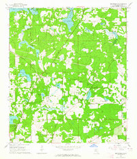
1963 · Bradfordville
USGS Topo · 1:24,000

1963 · Lake Jackson
USGS Topo · 1:24,000
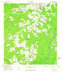
1963 · Havana South
USGS Topo · 1:24,000