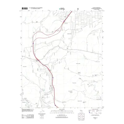
2012 Map of Cajon
USGS Topo · Published 2012About this map
Cajon Pass serves as the focal point of this 2012 survey, illustrating the complex transportation and geographic corridor between the San Bernardino and San Gabriel mountains. The landscape is defined by its deep canyons and elevated lookouts, such as Cajon Summit Lookout and Cajon Mountain Lookout, which overlook the dramatic descent toward Lytle Creek. This area has long been a critical transition point for travelers, evidenced here by the convergence of major highway and rail infrastructure alongside scattered mountain settlements like Cajon Junction and Cosy Dell. Local land use is diverse, ranging from recreation at the Mount High East Ski Area and Cajon Campground to the rural pockets of Whitlock Ranch and Pisgah Ranch. The map also documents specific geological and water features, including the unique Lost Lake and the drainage of Oro Grande Wash, which provide vital markers for both modern travelers and those tracing the history of transcontinental routes through this mountain gap.
Find a feature on this map
86 named features on this map. Tap any name to fly to it.
Don’t see what you’re looking for? This feature index may not catch every label — zoom into the map to look around manually.
Map Details
Editions of this 2012 Cajon Map
This is the sole edition of this map. No revisions or reprints were ever made.
Other maps of this area

1896 · San Bernardino
USGS Topo · 1:62,500

1897 · Cucamonga
USGS Topo · 1:62,500

1898 · San Bernardino
USGS Topo · 1:62,500

1900 · Cucamonga
USGS Topo · 1:62,500

1901 · Southern California Sheet No. 1
USGS Topo · 1:250,000

1901 · San Bernardino
USGS Topo · 1:62,500

1902 · Hesperia
USGS Topo · 1:62,500

1903 · Cucamonga
USGS Topo · 1:62,500

1903 · San Antonio
USGS Topo · 1:62,500

1904 · Southern California Sheet No. 1
USGS Topo · 1:250,000