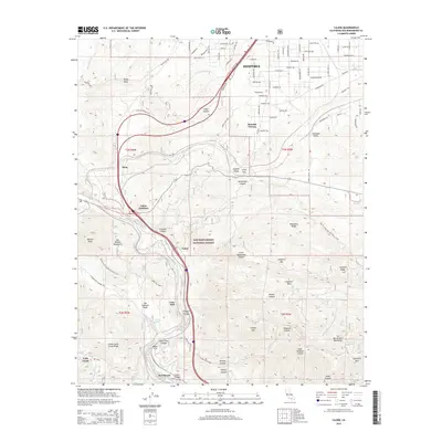
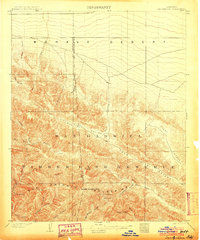
2015 Map of Cajon
USGS Topo · Published 2015About this map
The San Andreas Fault cuts a diagonal path through this southern California landscape, defining the geological boundary where the San Gabriel Mountains and the San Bernardino Mountains meet. This survey documents the critical transportation corridor of the Cajon Pass, a vital link between the Antelope Valley and the San Bernardino basin. The map tracks the transition from the high desert residential grid of Hesperia at the northern edge to the steep, canyon-riven terrain of the San Bernardino National Forest.
Find a feature on this map
102 named features on this map. Tap any name to fly to it.
Don’t see what you’re looking for? This feature index may not catch every label — zoom into the map to look around manually.
Map Details
Editions of this 2015 Cajon Map
This is the sole edition of this map. No revisions or reprints were ever made.
Other maps of this area
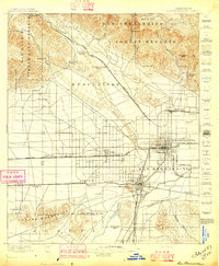
1896 · San Bernardino
USGS Topo · 1:62,500
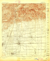
1897 · Cucamonga
USGS Topo · 1:62,500
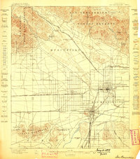
1898 · San Bernardino
USGS Topo · 1:62,500
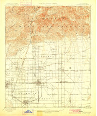
1900 · Cucamonga
USGS Topo · 1:62,500

1901 · Southern California Sheet No. 1
USGS Topo · 1:250,000
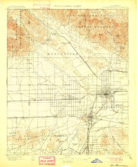
1901 · San Bernardino
USGS Topo · 1:62,500
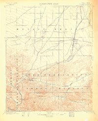
1902 · Hesperia
USGS Topo · 1:62,500
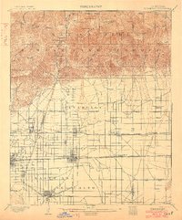
1903 · Cucamonga
USGS Topo · 1:62,500
1903 · San Antonio
USGS Topo · 1:62,500

1904 · Southern California Sheet No. 1
USGS Topo · 1:250,000