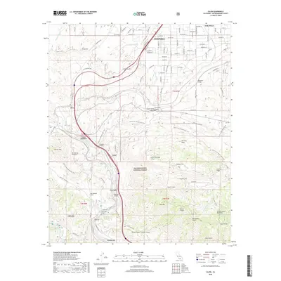
2018 Map of Cajon
USGS Topo · Published 2018About this map
Cajon Pass serves as the focal point of this 2018 survey, where the geological force of the San Andreas Fault meets the critical infrastructure of Southern California. The map illustrates the convergence of the BNSF Railway and major transportation corridors through the narrow gap between the San Gabriel Mountains and the San Bernardino Mountains. Small settlements and transit points like Cajon Junction, Alray, and Keenbrook are situated along the winding paths of Cajon Canyon and Lone Pine Canyon.
Find a feature on this map
119 named features on this map. Tap any name to fly to it.
Don’t see what you’re looking for? This feature index may not catch every label — zoom into the map to look around manually.
Map Details
Editions of this 2018 Cajon Map
This is the sole edition of this map. No revisions or reprints were ever made.
Other maps of this area

1896 · San Bernardino
USGS Topo · 1:62,500

1897 · Cucamonga
USGS Topo · 1:62,500

1898 · San Bernardino
USGS Topo · 1:62,500

1900 · Cucamonga
USGS Topo · 1:62,500

1901 · Southern California Sheet No. 1
USGS Topo · 1:250,000

1901 · San Bernardino
USGS Topo · 1:62,500

1902 · Hesperia
USGS Topo · 1:62,500

1903 · Cucamonga
USGS Topo · 1:62,500

1903 · San Antonio
USGS Topo · 1:62,500

1904 · Southern California Sheet No. 1
USGS Topo · 1:250,000