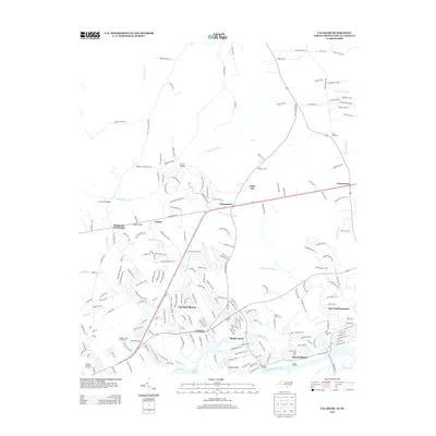
2013 Map of Calabash
USGS Topo · Published 2013About this map
Calabash and its surrounding coastal communities are defined by the intricate network of tidal waterways and expansive wetlands that characterize this corner of Brunswick County. The town sits at the heart of a landscape where the Calabash River and Little River meet, bordered by the engineering of the Intracoastal Waterway. The settlement pattern reflects modern recreational development, with large golf complexes like Pearl Golf Links and Sea Trail Plantation interspersed among older landings such as Blane Landing and Bonaparte Landing. Inland, the terrain is dominated by the vast drainage systems of Cawcaw Swamp and Shingletree Swamp, which dictated the early placement of crossings like the Cawcaw Bridges and Iredell Bridge near the crossroads of Iredell and Hickmans Crossroads.
Find a feature on this map
214 named features on this map. Tap any name to fly to it.
Don’t see what you’re looking for? This feature index may not catch every label — zoom into the map to look around manually.
Map Details
Editions of this 2013 Calabash Map
This is the sole edition of this map. No revisions or reprints were ever made.
Other maps of this area

1943 · Little River
USGS Topo · 1:31,680

1943 · Pireway
USGS Topo · 1:31,680

1943 · Calabash
USGS Topo · 1:31,680

1943 · Wampee
USGS Topo · 1:24,000

1943 · Freeland
USGS Topo · 1:24,000

1943 · Exum
USGS Topo · 1:24,000

1943 · Shallotte
USGS Topo · 1:24,000

1944 · Longs
USGS Topo · 1:31,680

1944 · Shallotte
USGS Topo · 1:31,680

1949 · Georgetown
USGS Topo · 1:250,000